

























































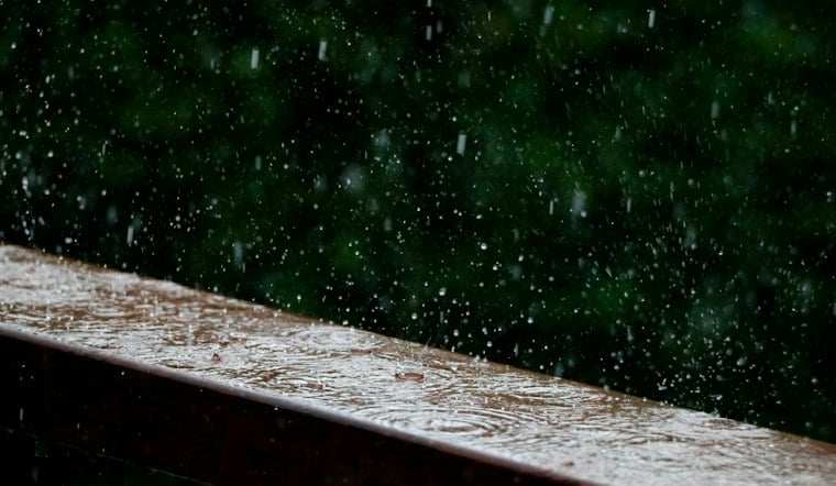
Chicago is expected to have a cooler Sunday, with possible afternoon showers that could interrupt outdoor plans.
The rain forecast for Sunday is notably lighter than the downpours that have produced major flooding in the Chicago area. Showers are expected to develop during the afternoon, with rainfall generally light, then fade Sunday evening. Temperatures and humidity may change from Monday into Tuesday.
The unsettled pattern is expected to continue through at least Thursday, with additional showers or thunderstorms possible as a front lingers near the region. The timing and intensity of individual storms remain uncertain, so a stormy outlook does not mean every neighborhood will receive the same amount of rain or experience flooding.
Why the same storm can affect neighborhoods differently
Chicago’s flood risk depends on more than the citywide rainfall total. The Metropolitan Water Reclamation District of Greater Chicago says most area sewers carry sanitary sewage and rainwater in the same pipes. Municipalities maintain smaller neighborhood sewers that feed into larger MWRD intercepting sewers, so local drainage problems can develop even when conditions elsewhere are less severe.
MWRD says its Tunnel and Reservoir Plan has capacity for more than 11 billion gallons of combined sewage and stormwater. That system can reduce flooding and overflows, but it is not a guarantee that every street or basement will remain dry. MWRD notes that backups and street flooding can occur when problems originate upstream in local sewer systems, even if its interceptors and TARP still have room.
Recent storms show the difference rainfall intensity can make
A National Weather Service Chicago event summary says 3 to 5 inches of rain caused flash flooding on Chicago’s North Side on Sept. 11-12, 2022. That was substantially wetter than the light showers currently expected Sunday, so it is a historical comparison rather than a prediction for this week.
More recent examples were similarly localized and intense. The National Weather Service Chicago/Romeoville reported that a July 8, 2025, storm near the United Center produced 5.45 inches of rain, with flooding affecting viaducts, basements and other areas in west-central Chicago. During the Aug. 16-17, 2025, event, the agency reported 6.02 inches near Oswego, including 5.42 inches in about four hours, as flooding affected parts of the western and southwestern suburbs. Those incidents demonstrate how quickly impacts can escalate when heavy rain concentrates over a small area; they do not establish that a similar event will occur this week.
The longer rainfall record offers broader context
The Illinois State Climatologist Office reports that Chicago O’Hare has complete annual precipitation records dating to 1959 and that precipitation there has increased by about 5 inches since the late 1950s. That station-based, long-term pattern provides regional climate context, but it cannot determine how much rain will fall in Chicago this week or where any thunderstorms will track.
For Sunday, earlier outdoor plans should be the safest bet, with a light jacket useful in the cooler air and an umbrella advisable later in the day. If heavier storms develop later in the week, Chicago emergency officials advise motorists not to drive through flooded roads; the city says anyone whose vehicle stalls in rising water should abandon it and seek an alternate route. The City of Chicago Office of Emergency Management and Communications provides that guidance.





