

























































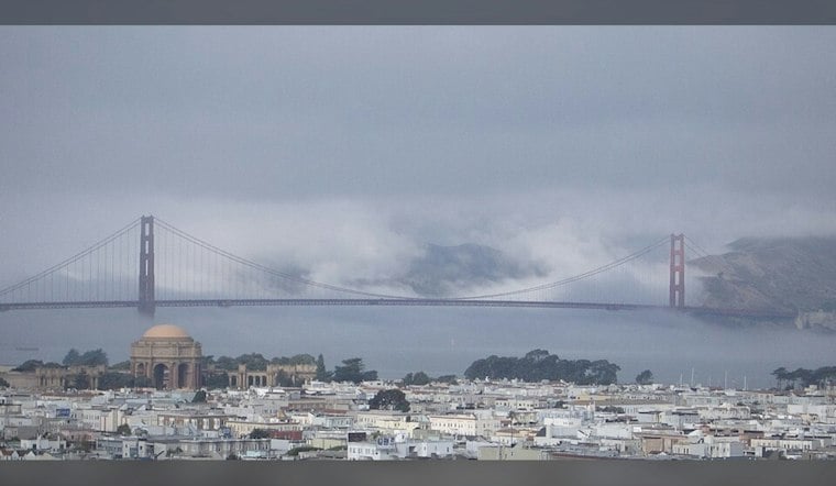
San Francisco is starting Sunday in the upper 50s beneath a blanket of low cloud, and the city will stay on the cool side through Monday. Today’s high should reach the 60s, with cool onshore breezes.
The National Weather Service says clouds will dominate much of Sunday, with a little afternoon brightness possible and only a slim chance of precipitation. A few patches of light drizzle may form late Sunday night or Monday morning, especially where the marine layer hangs closest to the coast, but this is not shaping up as a washout.
Clouds Ease, Breeze Builds
Onshore and northerly winds are expected Sunday. Low clouds are expected to pull back toward the coast by late morning, while another round of coastal cloud cover returns Sunday night; Monday then brings similar cool temperatures and returning clouds.
Warmup Arrives Tuesday
The forecast changes gears Tuesday, when a warming trend begins. Warming continues through Thursday, with coastal and bayside locations cooler than inland areas.
That warm spell will be more intense inland, where the National Weather Service expects highs in the 90s and possibly 100s Wednesday and Thursday. Anyone heading onto the water should also check conditions first: small craft advisories are posted for several coastal zones through Monday, with rougher seas expected to build Tuesday through Thursday.





