

























































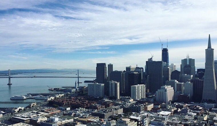
San Francisco is opening today with cool, damp air and a slight chance of drizzle before midmorning. Skies should brighten quickly, but the city will only reach about 67 degrees, with breezy west-southwest winds making exposed streets and waterfronts feel cooler.
Drizzle Gives Way To A Breezy Afternoon
The chance of rain is about 20% before 10 a.m., then decreases as clouds break. Winds will run 6 to 14 mph and could gust to 20 mph, while temperatures ease from the afternoon high toward the mid-60s. According to the National Weather Service San Francisco, there are no land-based watches, warnings or advisories for the city.
Cool Pattern Holds Through Thursday
Tomorrow should look similar, with a little drizzle before 10 a.m., followed by mostly sunny skies and a high near 69. Thursday brings a 30% chance of drizzle in San Francisco, partly sunny skies and a high near 68, while the North Bay could see more meaningful light rain as a weak front moves through.
Sunshine Returns For The Weekend
Friday looks sunny and mild, with a high near 67 and a low around 55 Friday night. Saturday and Sunday stay mostly sunny with highs near 66 and 67, before Labor Day warms slightly to around 71; nights remain cool in the mid-to-upper 50s.
For commuters and outdoor plans, the practical takeaway is a light jacket for mornings and evenings, plus some wind protection near the water and on exposed streets. The forecast is more classic San Francisco than summer heat: a damp start, a breezy afternoon and plenty of sunshine once the marine layer backs off.





