

























































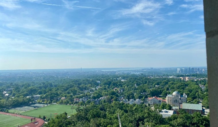
Washington is waking Wednesday to clear skies and temperatures near 70 degrees. The District should warm to around 89 degrees this afternoon, with sunshine lasting through most of the day before showers and thunderstorms become possible Thursday afternoon.
Wednesday Brings Sunshine And Summerlike Heat
The National Weather Service Baltimore/Washington office forecasts mostly sunny skies Wednesday, south winds of 6 to 12 mph and occasional gusts up to 18 mph. The high should reach about 89 degrees.
Wednesday night should stay mostly clear, with temperatures dropping to around 73 degrees. Winds will shift slightly toward the southwest and remain breezy, with gusts potentially reaching 20 mph.
Thursday Storm Chances Arrive Late
Thursday will begin with mostly sunny skies and another high near 89 degrees. Showers and thunderstorms become possible after 2 p.m.
The chance of showers and thunderstorms is 50% after 2 p.m. Thursday, with rain possible in some locations. That timing differs from Hoodline’s earlier D.C. forecast, which had placed a higher storm chance earlier Thursday.
Heat Relief And Flooding Context
For hotter days, according to D.C. government guidance, the District issues an Extreme Heat Alert when the heat index exceeds 105°F and operates free cooling centers across the city during extreme heat. Hours and locations are listed at heat.dc.gov.
Localized flooding can also vary across the District. According to DC Water, approximately two-thirds of Washington is served by separate sewers and the remaining one-third by combined sewers. The D.C. Department of Energy and Environment says unmanaged stormwater can flood and damage homes and businesses and erode stream channels.
Friday Turns Cooler
Friday should turn cooler behind the front, with a high near 83 degrees and mostly sunny skies after a slight chance of early-morning showers. The National Weather Service's September 7 forecast listed no watches, warnings or advisories, though Small Craft Advisories are scheduled for nearby waters from Wednesday afternoon into Thursday morning.
Saturday should be mostly sunny, with a high near 84 degrees and a slight chance of afternoon showers. Sunday looks mostly sunny with a high near 88 degrees.
A notably wetter precedent came in September 2011, which the National Weather Service Baltimore/Washington says ranked as the wettest September on record, with 13.32” of rain tallied after the remnants of Tropical Storm Lee.
Warm Weather Returns Next Week
The forecast turns mostly sunny again Monday, with a high around 87 degrees, though the heat will not disappear completely, keeping the District in a late-summer pattern even after the weekend storms.
According to Climate Ready DC from the D.C. Department of Energy and Environment, the region is expected to see increasing heavy rain and snow events, flooding and rising temperatures, including up to three times as many dangerously hot days.




