

























































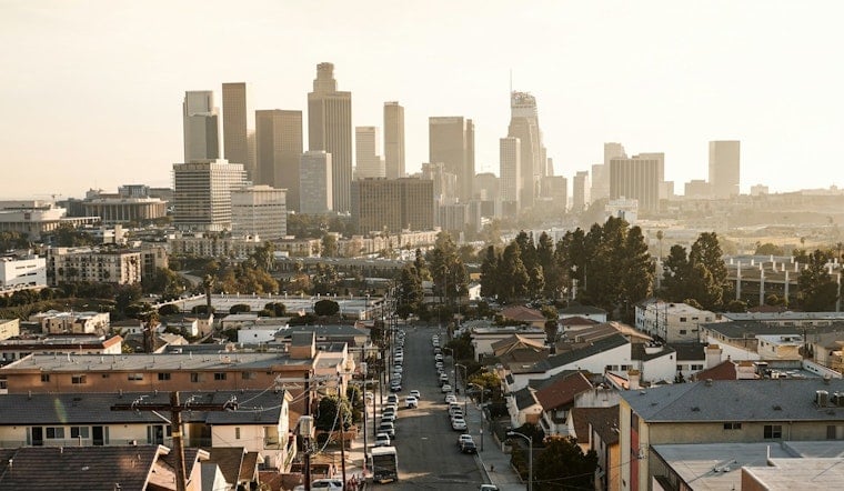
Downtown Los Angeles is starting Tuesday cool and humid, with temperatures in the low 60s before sunshine takes over. The afternoon should reach about 82 degrees, offering a comfortable break from the hotter stretches of summer and a mostly easy day for outdoor plans.
Sunny Tuesday, Calm Week Ahead
Skies should stay sunny Tuesday, with southwest winds increasing to around 5 to 10 mph during the afternoon. The National Weather Service says the region will remain roughly 5 to 10 degrees cooler than typical for early September, with no meaningful rain threat through Friday.
Afternoons Warm, Evenings Comfortable
Wednesday, Thursday and Friday should remain sunny with highs near 82 degrees and overnight lows in the low to mid-60s. Patchy low clouds may return overnight or early in the morning, particularly closer to the coast, while daytime winds stay generally light to moderate.
Weekend Forecast Gets More Complicated
The forecast turns less settled Saturday, when temperatures rise to about 83 degrees and shower chances reach 29% after 11 a.m. Sunday and Labor Day could be warmer, with highs near 86 and rain chances around one in three, a notable shift from the earlier Hoodline forecast.
Beachgoers Should Watch The Coast
The National Weather Service says a developing tropical system could bring increasing southerly swell, stronger rip currents and possible high surf to south-facing beaches over the holiday weekend. Low-lying coastal areas could also see minor flooding or beach erosion around evening high tides, so conditions may change even though no watches or warnings are currently posted.
For Tuesday, the practical plan is simple: lighter layers in the morning, sun protection by afternoon and water for longer outings. Anyone planning a beach trip this weekend should check the latest forecast before heading out, especially for Sunday and Monday.





