

























































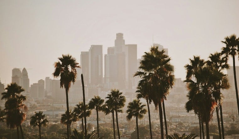
Downtown Los Angeles is starting Sunday near 69 degrees under humid, unsettled skies, with showers expected to develop through the morning and thunderstorms possible later in the day. The forecast is a dramatic turn from the usual Labor Day weekend script, with rain, slick streets and hazardous beach conditions all arriving before a warmer, sunnier stretch takes over.
Sunday Brings Rain, Thunderstorms And Slick Roads
Rain showers are likely through late morning, followed by a stronger chance of showers and thunderstorms from about 11 a.m. to 5 p.m. Sunday’s high should reach around 82 degrees, with mostly light winds shifting southwest near 5 mph in the afternoon.
The National Weather Service says rainfall of roughly a quarter-inch to an inch could affect much of Los Angeles County, with locally higher totals in foothills or under heavier bands. Brief downpours could cause street flooding, slick roads and isolated debris-flow concerns near steep terrain or recent burn scars.
Holiday Beaches Face High Surf And Flooding Risks
South-facing beaches in Los Angeles and Ventura counties remain under high surf and coastal flood advisories through Tuesday night. A large south swell could produce waves of 5 to 8 feet, with sets reaching 10 feet in some locations, while high tides add to the risk of flooding in vulnerable coastal areas.
Anyone heading to the beach should stay near a lifeguard, avoid rocks and jetties, and keep well back from the water’s edge. The unsettled coastal outlook is a substantial update from Hoodline’s earlier holiday forecast, which did not anticipate Sunday’s more widespread rain threat.
Sunny, Hotter Weather Returns Monday
Labor Day should be sunny and warmer, with a high near 87 degrees and west winds reaching up to 10 mph. Tuesday could bring a slight chance of afternoon showers, but temperatures are expected to climb near 90 degrees.
The heat builds further Wednesday and Thursday, when downtown highs are forecast near 91 and 92 degrees. Friday should ease back to about 89 degrees, followed by a cooler and sunny Saturday near 86.





