

























































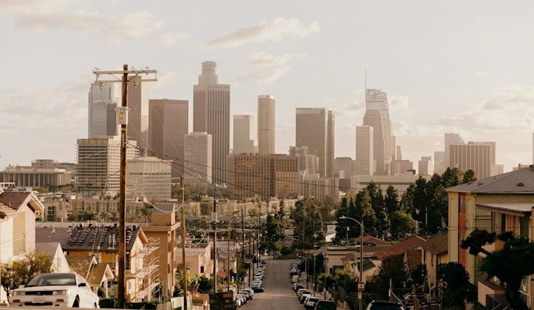
Downtown Los Angeles starts Saturday near 63 degrees before sunny skies push the afternoon high to 88. The holiday weekend then takes a sharp turn, with rain showers arriving late Saturday night and showers or thunderstorms likely Sunday.
Saturday Starts Sunny, Then Rain Arrives
Saturday will be sunny with southwest winds reaching up to 10 mph, making for a warm downtown afternoon. Rain chances rise after 11 p.m., when showers become likely and rainfall totals could reach between a tenth and a quarter of an inch.
Sunday Brings Showers And Thunderstorms
Sunday looks mostly cloudy and cooler, with a high near 81 and a 60% chance of precipitation. Showers are likely before 11 a.m., followed by a chance of showers and thunderstorms between 11 a.m. and 5 p.m., according to the National Weather Service.
Most of the rain should be light to moderate, but isolated heavier showers could make roads slick and cause brief localized flooding. Tropical Cyclone Marie is expected to remain well offshore, but its moisture is helping fuel the unusually unsettled early-September pattern.
Beach Hazards Stretch Through Tuesday
The coast faces the more serious holiday-weekend threat, with High Surf and Coastal Flood advisories in effect through 11 p.m. Tuesday for vulnerable areas. South-facing beaches could see 5- to 8-foot surf, with local sets reaching 10 feet Sunday and Monday, along with potentially deadly rip currents.
The latest outlook adds longer-lasting coastal hazards to Hoodline's earlier forecast. Beachgoers should stay near lifeguards, avoid rocks and jetties, and keep well back from the water's edge.
Sun Returns, But Heat Builds Again
Labor Day should turn sunny with a high near 87, followed by a slight rain chance Tuesday and a high near 88. Wednesday could reach 90 before temperatures ease to the upper 80s Thursday and Friday.





