

























































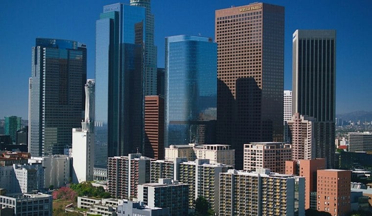
Downtown Los Angeles is starting Wednesday under cloudy marine-layer conditions, with patchy drizzle possible before the morning commute wraps up. The clouds should thin later, setting up a mild afternoon near 78 degrees after last week’s much hotter stretch.
Morning Drizzle Gives Way To Mild Sunshine
The National Weather Service Los Angeles/Oxnard office says a deep marine layer will keep low clouds over the area Wednesday morning, with a 10% to 15% chance of drizzle before 11 a.m., according to the National Weather Service. Partly sunny skies are expected afterward, although some coastal areas could stay cloudy well into the afternoon.
Wednesday night will remain mostly cloudy, with a low near 62 degrees and south winds ranging from calm to 10 mph. Thursday brings another mild day, with maximum temperatures changing little from Wednesday after another morning of marine-layer stratus.
Changing Weekend Pattern
Temperatures begin climbing Friday, with temperatures rising 2 to 4 degrees and faster clearing. Saturday should see less low-cloud coverage as a temporary ridge moves in. Sunday is expected to bring increased marine-layer clouds, with temperatures cooling a couple of degrees.
The outlook stays comfortable into next week, with highs near 80 Monday and 83 Tuesday. The calmer pattern follows the heat spell covered by Hoodline last week, making Wednesday’s damp morning feel more like a reset than a repeat; no watches or warnings are currently in effect.





