

























































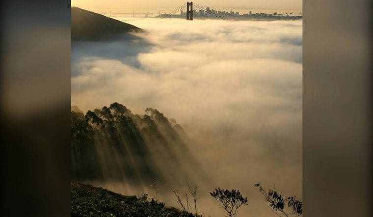
San Francisco is starting Wednesday near 60 degrees, with a cooler, breezier day ahead after the recent warm spell. Marine-layer stratus is expected along the coast, where temperatures will remain in the 60s, while west-southwest winds make it feel more like classic Fog City than late-summer California.
Afternoon Winds Pick Up Before Drizzle Returns
Wednesday’s coastal high is expected to reach the 60s, with winds increasing to 8 to 16 mph and gusts up to 24 mph during the afternoon. The National Weather Service also has a Small Craft Advisory in effect for San Francisco Bay north of the Bay Bridge from 9 a.m. to 9 p.m., so conditions could be choppy for small boats.
Wednesday night will see a deepening marine layer and increased overnight cloudiness. There is a slight chance of drizzle after 2 a.m. Thursday, and the odds rise for coastal dampness into the morning commute.
Thursday Starts Damp Before Sunshine Returns
Thursday could begin cloudy and lightly drizzly before skies turn partly sunny later in the day. The high should reach around 70 degrees, with lighter south-southwest winds and a 20% chance of precipitation.
Sunny Stretch Builds Into Next Week
Warming begins Friday, with a weak shortwave ridge expected Saturday. Another upper low is expected to move through California on Monday, potentially bringing a temperature dip, before warming continues through the middle of the following week.





