

























































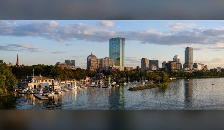
Boston is waking up to cool, dry Wednesday weather, with a high around 62. Northeast winds will make it feel brisk, especially along the waterfront, but the day should stay dry.
Cool, Breezy Weather Holds Through Thursday
Cool, breezy conditions continue through Thursday. Thursday's high will be in the low 60s, with northeast winds keeping the city feeling more like early fall than late September.
The National Weather Service Boston/Norton says dry, cool and breezy conditions should continue through Thursday as a strong high-pressure system maintains the chilly northeast flow.
Coastal Storm Threat Builds Friday
The forecast turns wetter Friday, with a chance of showers Friday and Friday night.
Saturday and Sunday look unsettled, with showers likely and a chance of thunderstorms Saturday; Sunday has only a slight chance of thunderstorms. Northeast winds are expected, and gusts could approach 40 mph. The coastal low could bring substantial rainfall to eastern Massachusetts and Rhode Island, though the timing remains uncertain.
Flooding And Erosion Concerns Along The Coast
The weather service is also warning of a potentially strong coastal low that could bring rough seas, coastal flooding and significant beach erosion from Friday into the weekend. Minor flooding could begin around Friday night’s high tide in Boston Harbor, with additional high-tide impacts possible through the weekend.
The exact storm track and intensity remain uncertain, but the strongest winds are expected along the coast and in higher elevations. No land watches or warnings are currently listed for Massachusetts, although marine advisories and gale warnings are posted for nearby waters.
Coastal Low Expected To Exit Around Monday
The low is expected to exit east around Monday. For now, Boston's best outdoor window is Wednesday and Thursday—before the weekend forecast gets considerably less cooperative.





