

























































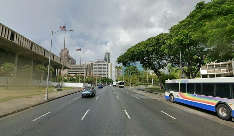
Honolulu starts Tuesday with partly cloudy skies and increasing windward cloud and shower coverage, followed by a hot, breezy afternoon. Scattered showers could occur across Oahu.
Hot Tuesday Gives Way To Stronger Winds
East-northeast winds will build from roughly 9 to 16 mph during the day, with gusts reaching 22 mph. Most of the day should remain mostly sunny, though passing showers could briefly interrupt outdoor plans, especially as moisture moves through the islands.
Wednesday will bring locally breezy to fresh or locally strong trades. The bigger shift arrives Wednesday night, when increasing moisture is expected to bring more widespread showers and rainfall to Honolulu and the rest of Oahu.
Wettest Stretch Arrives Thursday And Friday
Thursday is forecast to be mostly cloudy with a high near 87 degrees and a 60% chance of rain showers. Rainfall could be heavy, while Thursday night brings a chance of thunderstorms, some of which could produce heavy rain.
Scattered showers and thunderstorms remain possible Friday, along with gusty east-northeast winds near 21 mph and gusts up to 29 mph. The National Weather Service links the added moisture to Norbert’s remnants and says a Flood Watch could become necessary if the wetter pattern appears more likely, according to National Weather Service.
A Recent Comparison on Flood Risk
A separate storm offers a recent comparison. On September 8, 2026, the State of Hawaiʻi said lingering moisture from Hurricane Lowell, which was moving north away from the islands, continued to threaten heavy rain and flooding. That example shows why flood concerns can persist after a tropical system begins to recede, according to the State of Hawaiʻi.
How Oahu Residents Can Assess Flood Risk
The City and County of Honolulu Department of Emergency Management says a Flood Watch means flooding is possible. Residents should monitor official updates and be ready to seek higher ground; the city also advises checking FEMA flood-risk maps because exposure can vary by property and location, according to the Honolulu Department of Emergency Management. A separate National Weather Service account shows how uneven heavy-rain impacts can be: an upper-level low tapped enhanced moisture in the trade winds and produced torrential rain and severe flooding over portions of Kauai and Oahu from April 13 to 15, 2018, according to National Weather Service Honolulu.
Breezy Weekend With Increasing Surf
Conditions should turn somewhat drier over the weekend, although scattered showers will remain possible and winds will be moderate to breezy. Saturday and Sunday should remain somewhat drier, with moderate to breezy winds on Sunday.
Surf is also expected to build along south-facing shores through the week, with waves possibly nearing advisory levels by the weekend. East-facing beaches should see an increase as trade winds strengthen, while north-facing shores remain flat to tiny. No watches, warnings or advisories are currently posted, according to the National Weather Service.



