

























































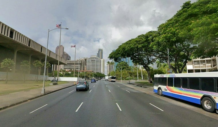
Honolulu was cloudy and around 73 degrees early Wednesday as a flood watch remained in effect across Hawaii, with thunderstorms and heavy rain expected to continue through the day. The city could reach 81 degrees, but umbrellas and extra patience will be more useful than sunglasses as downpours move across Oahu.
Occasional showers and thunderstorms are forecast Wednesday. Tuesday's forecast called for a 90% chance of rain and rainfall totals of roughly three-quarters of an inch to 1 inch. Some storms could bring intense rain, brief gusty winds and sudden flooding, especially in low-lying urban areas and near streams, according to the National Weather Service.
Flood Threat Continues Through Wednesday Night
The flood watch is scheduled to continue through late Wednesday night and into early Thursday morning. Forecasters say the greatest threat is focused on Oahu and Maui County, though all of the main Hawaiian Islands remain at risk for flash flooding, road closures, property damage from runoff and possible landslides.
Wednesday night could bring scattered showers, with a low near 75 degrees. Anyone driving, hiking or heading out for evening plans should avoid flooded roads and streams, and should be ready to move if a Flash Flood Warning is issued.
Rain Eases Somewhat Thursday And Friday
The forecast turns less stormy but remains unsettled Thursday, when Honolulu could reach 82 degrees with a 60% chance of showers. Friday brings mostly cloudy skies, scattered showers and a 60% chance of rain.
Trade winds may return Friday night into Saturday, with stronger northeast winds possible Sunday. That means breezier beach conditions, choppier east-facing waters and a forecast that stays showery even as the most dangerous heavy-rain threat fades.
The latest conditions are a sharper turn from earlier Hoodline updates that focused on the approaching wet pattern. Hoodline previously reported on the incoming storm threat; Wednesday's update reflects the active flood watch and ongoing thunderstorms now affecting the islands.





