

























































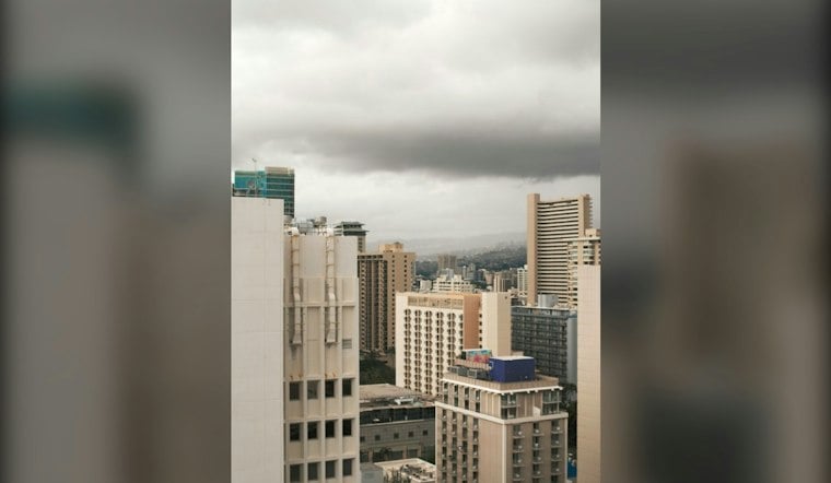
Honolulu is starting Tuesday under mostly cloudy skies, but the bigger story is a Flood Watch that could make the next two days unusually soggy and hazardous. Heavy showers and isolated thunderstorms are expected to build across Oahu, with the greatest flood threat arriving Tuesday night through Wednesday night.
The National Weather Service Honolulu says the watch covers all of the main Hawaiian Islands from Tuesday morning through early Thursday, with Oahu and Maui County facing the greatest risk. Forecasters warn that intense rainfall could overwhelm streams, drainage areas and low-lying roads, while steep terrain could see landslides.
The earlier midweek-rain outlook, detailed in Hoodline’s previous forecast, already noted a Flood Watch for all the main Hawaiian Islands. Residents should monitor updates and be ready to act if Flash Flood Warnings are issued.
Rain Chances Rise Tuesday Afternoon
Tuesday will reach about 84 degrees with partly sunny breaks and a 90% chance of rain showers. The heaviest activity is expected later in the day, with three-quarters of an inch to 1 inch of new rainfall possible and northeast winds ranging from calm to 9 mph.
Tuesday night looks considerably wetter, with occasional showers, a 90% chance of precipitation and a low near 71 degrees. Rainfall totals could reach 1 to 2 inches, while northeast winds may gust to 18 mph.
Wednesday Brings Thunderstorms And Heavy Rain
Wednesday is currently the most concerning day in the near-term forecast. Showers are expected, followed by additional showers and thunderstorms, some capable of producing heavy rain.
Drivers should allow extra time and avoid crossing roads covered by moving or standing water. Urban runoff, overflowing drainage channels and sudden downpours can create dangerous conditions even where skies look manageable a few miles away.
Showers Possible Saturday
The flood threat should ease Thursday and Friday, but the weather will not snap back to completely dry conditions. Thursday brings scattered showers and a high near 82, while Friday is mostly cloudy with a 60% chance of rain and scattered showers.
Scattered showers remain possible Saturday.
For the latest watch information and local forecast updates, the National Weather Service Honolulu advises residents to keep checking forecasts and take precautions before flooding begins.




