

























































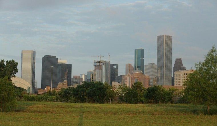
Houston is waking up to possible patchy fog Friday, but the brief morning ease will give way to a sunny, hot afternoon. The high should reach about 94 degrees, with lower humidity helping the heat feel a little less oppressive than recent days.
Sunny Friday Leads Into A Hotter Saturday
Friday, September 18, should bring generally drier conditions, with precipitation probabilities near zero at Houston Intercontinental Airport. The National Weather Service expects temperatures to fall to around 73 degrees Friday night.
Saturday, September 19, will be the hottest day of the weekend. Sunshine will push Houston near 95 degrees; outdoor plans will be more manageable earlier in the day, with water and shade becoming increasingly important by afternoon.
Humidity And Storm Chances Return Sunday
The dry spell is short-lived, with humidity returning Sunday, September 20. Sunday should still be mostly sunny with a high near 94, but isolated showers and thunderstorms become more possible along the coast and southern parts of the region.
Storm chances may continue Monday, September 21, and into the following week, while hot weather persists.
This marks a notable shift from Thursday's storm-focused forecast, which was covered in an earlier Hoodline forecast. There are currently no watches or warnings listed for the Houston area, but the weekend heat will still reward shorter outdoor outings and a well-timed indoor escape.





