

























































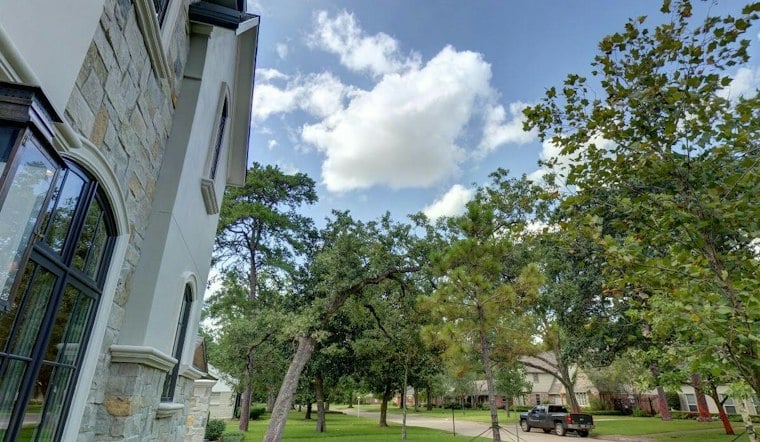
The National Weather Service forecasts a high of 93 degrees for Houston Intercontinental Airport. Rain chances remain low Monday, then increase later in the week. Its Houston Intercontinental forecast gives the high and rain outlook.
Monday Stays Hot With Ozone Concerns
Monday's forecast calls for mostly sunny skies, with isolated showers or thunderstorms possible. Southeast winds will be 5–10 knots, not mph. The National Weather Service airport forecast gives the updated rain outlook, high and wind range.
An Air Quality Alert is also in effect.
In Texas, ozone alerts can reflect a forecast rather than a reading of current conditions: the Texas Commission on Environmental Quality’s Ozone Action Day forecasts predict when pollution may reach the EPA’s “unhealthy for sensitive groups” category. That category corresponds to an ozone Air Quality Index of 101 to 150, and TCEQ advises people to consider heat and humidity along with ozone when deciding whether to limit outdoor activity.
Storm Chances Build By Midweek
Tuesday remains mostly sunny and hot, with a high near 93 and a 20% chance of showers and thunderstorms, mainly in the afternoon. Southeast winds could gust as high as 20 knots. The National Weather Service forecast gives Tuesday’s updated rain chance, timing, temperature and wind gusts.
By Wednesday, the chance of showers rises to 50%, with thunderstorms possible. The forecast calls for a high of 93 degrees. The National Weather Service forecast gives the updated temperature and rain chance.
The wet pattern has a broader setup than isolated afternoon storms: the National Weather Service says deeper Gulf moisture and a slow-moving upper-level disturbance will bring rain chances from Wednesday into the weekend. Forecasters expect showers and storms each day, with the greatest coverage from Wednesday through Saturday, and say some downpours could be locally heavy. The Houston/Galveston forecast discussion identifies that pattern and timing.
Thursday And Friday Bring The Wettest Stretch
Thursday and Friday now look unsettled, with rain chances peaking on those days. Highs are forecast near 90 Thursday and 87 Friday. The National Weather Service forecast lists the updated rain chances and highs.
Rainfall totals remain uncertain, and locally heavy rain is possible. An Air Quality Alert is listed for Houston. Residents should keep an eye on updates if they have outdoor plans or a flood-prone commute.
The National Weather Service assessment describes Hurricane Harvey’s catastrophic flooding in Southeast Texas in August 2017.
Weekend Rain Eases Gradually
Rain chances are forecast to diminish through the weekend.
In short, Houston gets one more hot, mostly sunny day before the umbrella becomes the more useful piece of gear. Monday should be mostly dry, though isolated showers or storms remain possible, before the broader storm pattern takes over later in the week.





