

























































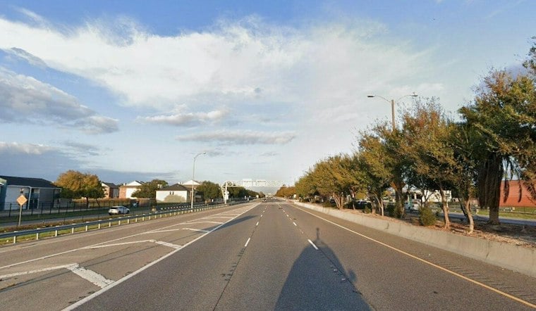
Westbound Interstate 10 traffic ground to a halt at the Interstate 610 split on Tuesday morning as New Orleans police shut down the interchange for roughly an hour, deploying a drone at 11 a.m. to piece together what happened in a deadly crash over the weekend. The closure came four days after officers first responded to a multi-vehicle collision at the same interchange on the night of Friday, September 25.
According to WDSU, NOPD planned the shutdown for late morning. Drivers headed west on I-10 were told to detour onto I-610 to Elysian Fields Avenue, where they could re-enter I-10 toward downtown, according to WWL-TV. Other traffic was redirected onto I-610 West for the duration of the investigation, and drivers were simply encouraged to find alternate routes altogether.
Returning to a crash scene days later for aerial reconstruction is not new for NOPD at this particular stretch of highway. The department used the same technique to reconstruct another fatal crash at the I-610 West and I-10 West interchange back on June 19, 2024, per NOPD News, underscoring that this junction has become a recurring focus for drone-based crash mapping.
Why Police Fly Drones Over Crash Scenes
NOPD's Traffic Fatality Unit relies on drones to capture debris fields and roadway evidence from above rather than sending investigators to work on foot in live interstate lanes. That approach traces back in part to a tragic reminder of the danger the job carries: in June 2016, NOPD Officer Natasha Hunter died from injuries after a driver struck her stationary vehicle while she was investigating an earlier multi-vehicle crash on an I-10 shoulder, according to Respondersafety.com.
The roughly hour-long closure allowed NOPD to deploy a drone over the crash scene while investigators worked.
A Fleet That Has Grown Well Beyond Search Warrants
NOPD's drones weren't originally built for traffic work. The department purchased four drones and trained 10 police pilots, with the program initially aimed at search warrants and disaster response, according to Police1, which also listed vehicle-crash documentation as a possible use. NOPD logged 112 drone flights in the second quarter of 2026 alone, including eight flights dedicated specifically to fatality-scene reconstruction, according to NOPD's own statistics released August 31.
That expansion has come with more public scrutiny, too. NOPD launched a public Drone Dashboard on September 1 as part of its rollout of Drone as First Responder technology. The New Orleans City Council vote was split 4-3, and the pilot program was valued at $250,000, as Hoodline previously reported. The dashboard's launch came amid surveillance and privacy concerns that have followed the technology's growth.
Another Fatal Stretch of the Same Corridor
Tuesday's closure followed another deadly incident on I-10 West in the preceding ten days. On September 19, a 49-year-old pedestrian was struck and killed while attempting to run across I-10 West near Crowder Boulevard in New Orleans East, according to WWL-TV, in a case that Hoodline also covered at the time. NOPD's Traffic Fatality Unit handled both that investigation and the interchange crash under review this week.
The pattern reflects broader safety challenges along the city's interstate corridors. Metropolitan Crime Commission data cited by Hoodline shows at least 30 people were shot on New Orleans interstates in 2022, the majority of those incidents concentrated along I-10.
Specific details about the victims and the exact cause of Friday night's crash remain under investigation. NOPD has not released further information beyond confirming the closure and drone deployment tied to the ongoing probe.




