

























































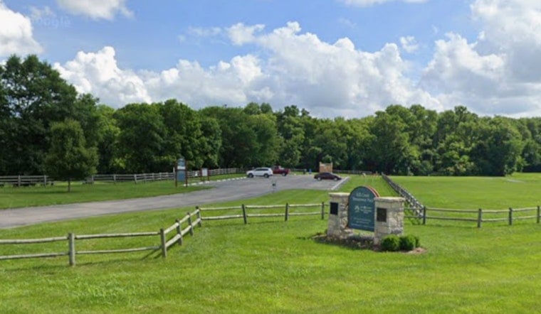
Crews have paved a section of the new Kill Creek Streamway Trail Connection in De Soto, another step toward finishing a link that will join two previously built trail segments into one continuous path. The 2.4-mile connector cuts through a portion of the former Sunflower Army Ammunition Plant site in western Johnson County, and when finished it will create an 11-mile continuous trail stretching from the Kansas River all the way south to 143rd Street.
The City of De Soto posted a behind-the-scenes update on the trail connection. The trail is currently not open to the public. According to the City of De Soto, the project includes asphalt paving, excavation, foundation work, and installation of a new pedestrian bridge, with contractor Mega KC placing the bridge.
A Trail Decades in the Making
The connection will join two previously built trail segments into one continuous path.
A broader trail network serves Johnson County. Johnson County's Streamway Parks System focuses on conserving stream corridors for flood mitigation and building multi-use trails. JCPRD manages parks and trails countywide.
Building Through Former Military Land
The Kill Creek connector runs through part of the former Sunflower Army Ammunition Plant site. Before the property can be transferred to JCPRD, it must first be certified as cleaned to residential environmental standards by the Kansas Department of Health and Environment.
The Greater Kill Creek Park Master Plan envisions incorporating roughly 2,000 acres of the former Sunflower site to expand Kill Creek Park, making it the largest park in the county system, as reported by the Johnson County Post. JCPRD is also considering the future of Sunflower Nature Park.
Green Space Amid Industrial Growth
The trail and park expansion are planned for western Johnson County. The plans include trail and park land.
Access near the construction zone remains limited. The new 2.4-mile connector is not open to the public while crews finish work.





