

























































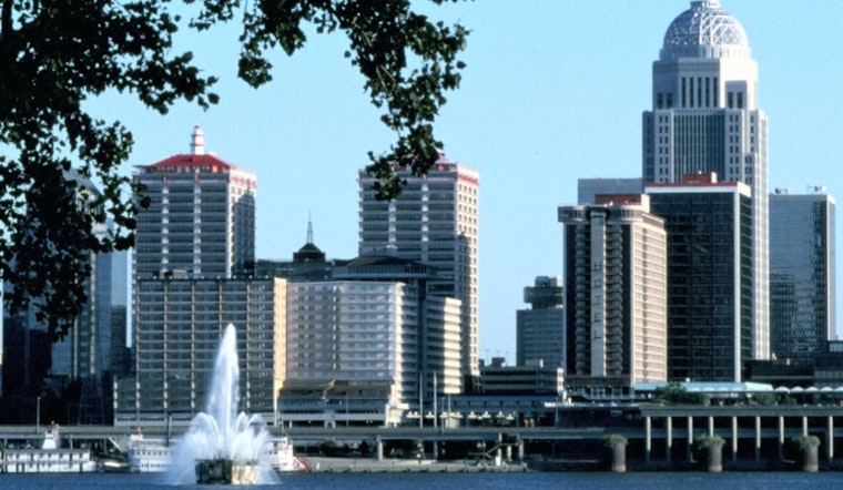
Louisville is waking to clear skies and temperatures in the low 60s Monday morning, with a mostly sunny Labor Day ahead. The city should warm to around 89 degrees, and rain is not expected to disrupt holiday plans.
Monday night will stay mostly clear with a low near 70. The latest National Weather Service forecast lists no watches, warnings or advisories for the Louisville area.
Heat Builds Through Wednesday
Temperatures rise quickly Tuesday, when mostly sunny skies push the high near 92. Wednesday looks like the hottest day of the week, with sunshine, a high near 95 and southwest winds that could gust to around 20 to 25 mph.
Heat index values could reach the low 100s west of Interstate 65 on Wednesday afternoon. That is a notable shift from the cooler, around-90-degree Labor Day setup described in Hoodline's earlier forecast, when a heat advisory was still in place.
Storms Arrive Thursday
A cold front should bring the week's biggest rain chance late Wednesday night into Thursday. Showers and thunderstorms are likely Thursday, with a 70% chance of precipitation, mostly cloudy skies and a cooler high near 86.
Rainfall totals of roughly a quarter-inch to a half-inch are currently expected across much of the region, though a few spots could receive more if storms track over the same area. Thursday remains unsettled.
Sunny, Warm Weekend Follows
Friday should turn mostly sunny and cooler, with a high near 86 and a low around 65. A slight chance of showers or thunderstorms returns Saturday, but the weekend otherwise looks warm, with highs near 91 on Saturday and Sunday.
For Louisville residents planning outdoor time, Monday and Friday offer the clearest windows. Wednesday will require heat awareness, while Thursday is the day to keep a closer eye on the sky.





