

























































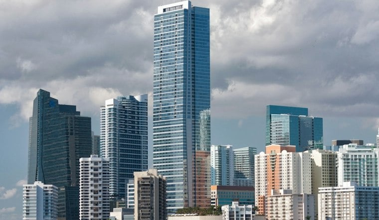
Miami began Monday with temperatures around 77 degrees and mostly cloudy skies at Miami International Airport. The current forecast calls for showers and thunderstorms to develop this afternoon, beginning a wet stretch across South Florida.
The National Weather Service in Miami gives Monday a 70% chance of rain, with storms possible during the afternoon. The high should reach about 86 degrees, while morning winds should generally be light, with directions varying by marine zone.
Heavy Downpours Could Flood Poor-Drainage Streets
Monday's thunderstorms could bring brief bursts of intense rain, frequent lightning and locally heavy downpours. Rainfall amounts could vary, with some areas seeing locally heavy downpours.
That combination could produce street flooding in Miami's urban and poor-drainage areas, especially across the east coast metro. Drivers should never enter flooded roadways, and people should move indoors when thunder is nearby.
What official flood records show
Miami-Dade County says FEMA's digital flood hazard maps show current flood risks across the county and help determine flood insurance rates. The county identifies Little River as its first Adaptation Action Area, with more than $40 million moving forward for sewer, stormwater, water-quality and resilient-housing projects, according to Miami-Dade County.
Why drainage remains a concern
Miami-Dade County's stormwater planning uses a countywide hydrologic and hydraulic model that maps multiple scenarios and rainfall intensities, according to the Miami-Dade County Department of Regulatory and Economic Resources. The county faces flooding vulnerability during major events and continues planning for stormwater and sea-level-rise challenges.
Storm Chances Stay Elevated Through Friday
Tuesday looks much the same, with showers and thunderstorms possible. Wednesday and Thursday should remain unsettled, with showers and thunderstorms possible.
Late-week conditions should remain warm, with chances of showers and thunderstorms continuing through Friday.
The current outlook extends the storm chances described in Hoodline's weekend forecast. Overnight lows should remain in the mid-to-upper 70s, so rain-soaked evenings will still feel warm and humid.
Keep Outdoor Plans Flexible
Outside of thunderstorms, winds should generally remain light, but storms can produce sudden gusts and locally hazardous conditions. The National Weather Service expects seas around 2 feet or less in calmer periods, with rougher winds and seas possible near thunderstorms.





