

























































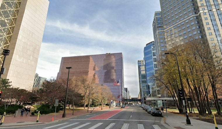
Minneapolis is heading into Saturday. It is less a washout than a long, gloomy fall day.
Saturday Conditions
Saturday brought rain to the Twin Cities metro.
Saturday night will have a low near 55 and north-northeast winds of 5 to 10 mph. Sunday should reach a high near 67, although northeast winds will increase to 10 to 15 mph.
The Week Ahead
The outlook covers Monday through Friday, with overnight conditions included as well.
What the Frost Benchmark Can—and Cannot—Show
The possibility of frost is a short-term forecast detail, not evidence that the region’s first freeze is arriving unusually early. The National Weather Service Twin Cities places the normal first freeze for the Twin Cities between Oct. 1 and 10, a historical benchmark rather than a prediction for this particular week.
The Minnesota Department of Natural Resources says accurate long-range forecasts of freeze dates remain beyond the reach of science. Climatologists instead use historical temperature observations to estimate the probability of freezing conditions. That means this forecast can describe the possibility of freezing conditions, but it cannot establish a recent change in fall temperatures, frost timing or precipitation patterns in the Minneapolis–St. Paul region.
There is broader climate context, but it operates on a different time scale. The University of Minnesota Climate Adaptation Partnership reports that Minnesota’s average annual temperature increased by 3.4 degrees Fahrenheit between 1895 and 2025, while average annual precipitation increased by 3.4 inches. Those statewide, long-term trends do not explain Saturday’s drizzle or determine when frost will occur next week; they simply place this period of weather within a much longer record.





