

























































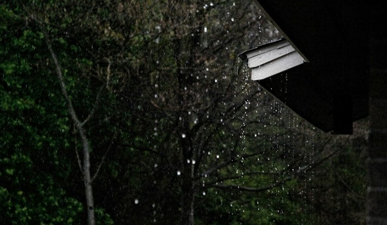
Rain is expected at times across Oahu this Wednesday, with brief periods of light to locally moderate rain possible. At Daniel K. Inouye International Airport, conditions were 81 degrees with southeast winds at 16 mph late Wednesday morning. Southeast winds are part of the broader weather pattern. The National Weather Service’s Honolulu forecast and airport observations give the latest details.
Rain And Gusty Winds Set The Tone
The National Weather Service says rain bands on the eastern side of Tropical Storm Nolo will continue moving north from the south after the storm’s center moved west of Hawaii.
Southeast winds and rain bands are part of the broader weather pattern, with periods of rain expected across Kauai and Oahu, according to the National Weather Service.
The posted National Weather Service alerts are focused on marine conditions: a Tropical Storm Warning covers offshore waters west of 163°W, while a Small Craft Advisory applies to waters around Kauai through 6 p.m. Wednesday. The offshore warning calls for tropical-storm conditions in those waters, not in Honolulu. The advisories matter to boaters even as the storm’s rain bands continue to affect parts of the islands. The latest Hawaii watches, warnings and advisories list both products.
Across Oahu, the latest National Weather Service discussion expects Oahu and Kauai to pick up the higher rainfall totals over the next few days. Periods of moderate to heavy rain are possible at times, mainly across those islands through Wednesday afternoon. The Honolulu forecast discussion describes the island-by-island outlook.
Rainfall impacts are expected to vary across the island chain. Periods of moderate to heavy rain affected Kauai Wednesday morning, and the National Weather Service expects more moderate to heavy showers at times through the afternoon, mainly over Kauai and Oahu. The storm’s eastern flank is drawing moist air northward as Nolo moves west over Papahānaumokuākea waters; forecasters expect drier air to begin moving into the region later Wednesday. The Honolulu forecast discussion describes that evolving setup.
Thursday Stays Showery Before The Weekend Improves
Thursday remains unsettled, with showers likely mainly before noon and a high near 88. Winds are forecast to become southeast at 5 to 8 mph in the morning, with a 60% chance of rain and three-quarters to 1 inch of new precipitation possible. The National Weather Service’s Honolulu forecast gives the Thursday outlook.
Friday brings scattered showers and a high near 88, with a 40% chance of precipitation. Saturday looks sunnier after isolated morning showers, with a high near 87 and a 20% chance of rain. The National Weather Service’s extended Honolulu forecast gives the Friday and Saturday outlook.
The wetter midweek setup is a notable change from Honolulu’s earlier weekend outlook, which focused more on strong winds and showers as Nolo moved nearby. That prior forecast is covered by Hoodline.
A recent Hawaii storm offers a reminder that flooding can occur well away from a cyclone’s center: Hurricane Lala made landfall on the Big Island in August, but its impacts included considerable flooding on Oahu as well as catastrophic flooding in the Big Island’s Kaʻū District. Lala was a stronger, direct-hit event, so it is not a forecast for Honolulu this week; it does show why heavy rain bands can matter even when a storm’s center passes elsewhere. The National Weather Service’s Lala event summary documents those island-wide impacts.


