

























































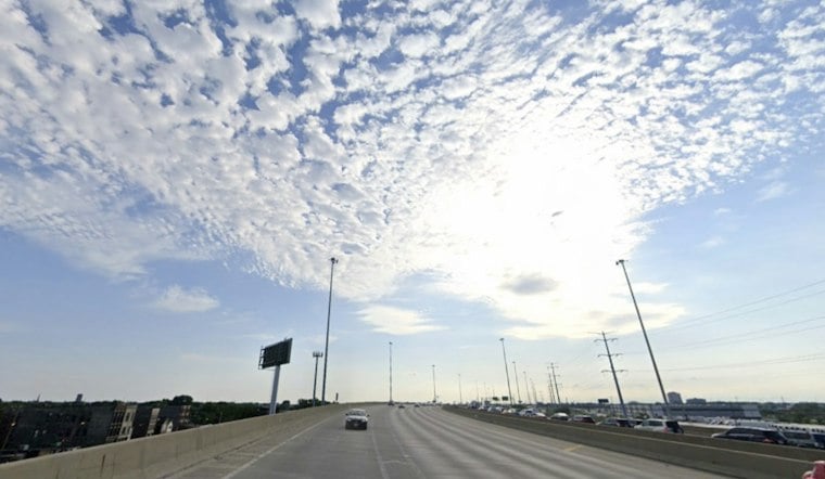
Chicago has one more summerlike day before cooler, stormier conditions move in. According to the National Weather Service, Saturday will be mostly sunny, with temperatures rising from the upper 60s in the morning to a high near 86 degrees. West-southwest winds could gust to 20 mph.
Warm Saturday Gives Way To A Cooler Sunday
Dry weather is expected through Saturday night, when skies will turn partly cloudy and temperatures drop to around 64 degrees. Sunday will feel noticeably cooler, with a high near 72 and a chance of rain showers after 1 p.m., as reported by the National Weather Service.
Sunday night should be primarily dry, although scattered afternoon showers are expected. Monday looks partly to mostly cloudy, with temperatures in the 70s, but breezy southeast winds could pick up during the day, as noted by the National Weather Service.
Storm Chances Rise Tuesday Through Thursday
Warmth returns Tuesday, with a high near 84 degrees and chances for showers and thunderstorms throughout the day. The National Weather Service says the region could see rounds of heavy rain and thunderstorms from early to midweek, depending on where a weather boundary settles.
Showers and thunderstorms are expected to become more likely Tuesday night and Wednesday, with additional waves of showers and thunderstorms possible wherever the boundary settles. Forecast confidence is lower beyond Wednesday.
What the Heat and Rain Mean for Chicago
Chicago's temperature records extend back to 1871, according to National Weather Service Chicago climate records, providing a long historical baseline for comparing Saturday's forecast high. The available climate-record context does not include the calendar-date normal or record needed to quantify how unusual 86 degrees would be.
For heavy rain, the Metropolitan Water Reclamation District of Greater Chicago says its Tunnel and Reservoir Plan captures and stores combined stormwater and sewage that could otherwise overflow into waterways during rainy weather. Information about the system's capacity describes overflow prevention and heavy rain but does not predict flooding from this week's forecast.
There are no watches, warnings or advisories in effect for the Chicago area as of Saturday morning, according to the National Weather Service. Saturday remains the clearest choice for outdoor plans, while Sunday afternoon and the middle of next week carry the greatest rain risks.





