

























































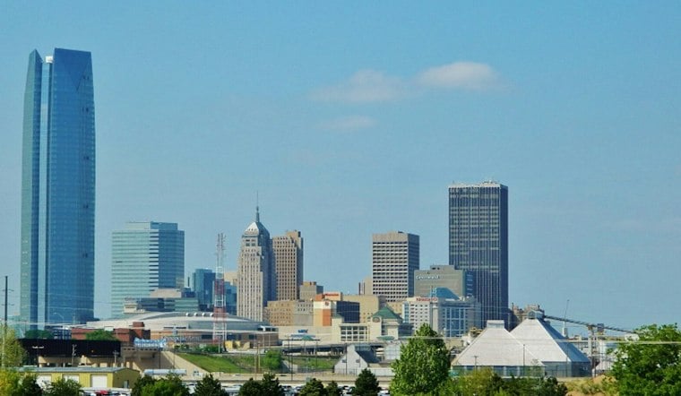
The National Weather Service forecast points to storms developing Tuesday afternoon and moving toward Oklahoma City. The afternoon high is forecast near 91 degrees.
Rain and thunderstorms are expected to develop Tuesday afternoon, with the lead wave departing by late afternoon, according to the National Weather Service forecast.
Storms Arrive Wednesday Night
Wednesday’s high is forecast near 88 degrees, with a 70% chance of showers and possibly a thunderstorm, mainly after 1 p.m. South winds could gust to 31 mph. Showers and thunderstorms are forecast Wednesday night, when heavy rainfall is possible and the chance of precipitation rises to 100%. The current National Weather Service forecast gives the updated temperatures, timing and probabilities.
The National Weather Service expects periods of heavy rain from Tuesday afternoon through Thursday afternoon, with flooding possible in parts of western North Texas and southern Oklahoma. Severe storms are possible Wednesday afternoon and night. A Flood Watch has been issued for selected southern Oklahoma counties and parts of North Texas from Wednesday afternoon through Thursday afternoon; Oklahoma County is not among the listed zones. The NWS Norman forecast discussion and watch-area listing give the current outlook.
The Norman office has issued a Flood Watch for selected southern Oklahoma counties and parts of North Texas, effective Wednesday afternoon through Thursday afternoon; Oklahoma County is not among the Oklahoma zones listed. No watch or warning is shown on the current Oklahoma City point forecast page. Alerts can differ by county, so the watch for areas south of the metro does not mean one is in effect across Oklahoma City. The NWS watch-area listing and the Oklahoma City forecast identify the local coverage.
Rainfall amounts could vary sharply across the region. The NWS Norman forecast discussion places a high-end 90th-percentile scenario near 6 inches in a portion of southern Oklahoma centered on Pauls Valley, while stressing that this amount is unlikely at most locations. Forecasters also identify central Oklahoma, including the western Oklahoma City metro, as a possible gap between separate rain bands—so the southern Oklahoma estimate is not a forecast for Oklahoma City. The forecast discussion outlines that uneven setup.
What Flood Maps Can Tell You
For general context, the Oklahoma Water Resources Board’s 2024 floodplain management guide says flood hazard maps identify areas of hazard. That mapping information does not establish whether this week’s rain will cause flooding in Oklahoma City or specify local conditions.
Thursday Brings Rain And A Big Temperature Drop
Showers are likely Thursday, with a 70% chance of precipitation and a high near 81 degrees. A cold front is expected by Thursday night, according to the National Weather Service forecast.
The National Weather Service discussion says showers may linger Friday, particularly in southeast and central Oklahoma, and in parts of Oklahoma Saturday. Cooler temperatures are expected through Monday, with no mentionable rain chances Monday.





