

























































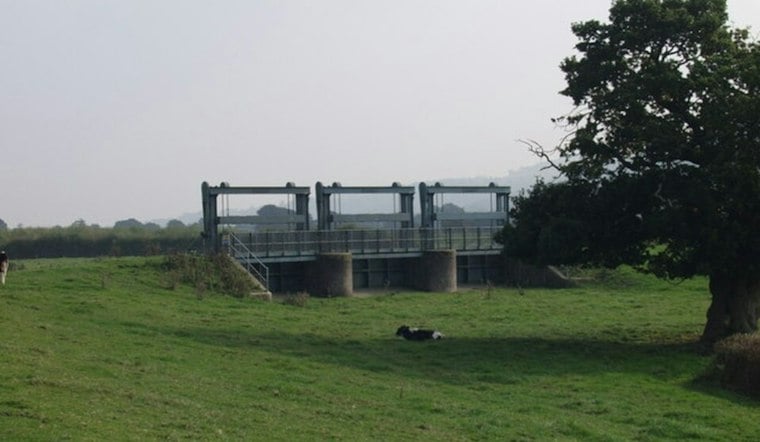
Pennsylvania's flood defense system rests on more than 180 levees that together protect an estimated $26.2 billion in property and shield about 158,000 residents, according to U.S. Army Corps of Engineers data. Most of these earthen embankments were built under federal programs between 1950 and 1970, and many have now outlived their typical 50-year design life. As storms grow more intense across the state, the aging barriers are being tested in ways their original engineers never anticipated.
The scale of the vulnerability is significant: roughly 65% of Pennsylvania's levees are not accredited by the Federal Emergency Management Agency, according to Penn State researchers, because communities cannot afford the expensive, labor-intensive engineering evaluations required for certification. That lack of federal sign-off means nearby properties remain designated in high-risk flood zones on federal maps, according to FludZone, even when a levee is otherwise functioning. Kaleigh Yost, a geotechnical engineer and geohazards researcher at Penn State University who studies how levees respond to flood conditions, has said better tools to evaluate, manage, and improve aging levee infrastructure are especially urgent, as reported by PhillyVoice and detailed in the Northeast Times.
A System Built for a Different Era
Levees are essentially earthen embankments running parallel to rivers, raising riverbank height to hold back rising water. They're typically engineered to contain a flood with roughly a one-percent chance of occurring in any given year, but they can fail through overtopping during an unusually large flood, erosion, seepage through or beneath the embankment, or partial structural collapse before floodwaters even crest the top, per the Northeast Times report. Pennsylvania's network spans roughly 155 miles of riverbank, according to The Conversation, running through a state crisscrossed by roughly 86,000 miles of rivers and streams.
Much of this infrastructure traces back to the Flood Control Act of 1936, signed by President Franklin D. Roosevelt after catastrophic flooding that year, and to the aftermath of Hurricane Agnes. In June 1972, Agnes triggered catastrophic Susquehanna River flooding; the Wilkes-Barre levee was topped at 38.5 feet on June 23, 1972, according to Wilkes University. Since then, responsibility for maintaining these levees has largely shifted from the federal government to local and state entities, even as the structures continue to age.
The Insurance Gap Facing Homeowners
Pennsylvania has logged nearly 5,000 flood events since 1996, according to the state's 2023 Hazard Mitigation Plan, and the National Flood Insurance Program has paid more than $1 billion in claims to Pennsylvania property owners over that period. Yet only about 0.8% of Pennsylvania households carry NFIP coverage, per FludZone, even though property owners statewide have filed nearly 77,000 insurance claims totaling over $1.4 billion since 1978. More than 9,000 Pennsylvania properties have suffered multiple flood losses, the same source notes, leaving many homeowners financially exposed when unaccredited levees keep their neighborhoods mapped as high-risk.
The American Society of Civil Engineers' 2022 Pennsylvania Infrastructure Report Card gave the state's overall infrastructure a C- grade. FEMA's National Risk Index classifies 15 of Pennsylvania's 67 counties as having High or Very High inland flood risk, according to FludZone. Philadelphia and Pittsburgh both sit alongside major waterways, and Northeast Philadelphia in particular is near the Delaware and Schuylkill rivers, within reach of a levee-dependent flood management system designed for a different era. Flooding there followed Hurricane Ida in 2021, underscoring the immediate risk the neighborhood faces from levee-dependent flooding.
Regulatory Hurdles Slow Local Repairs
Even when municipalities want to act, state rules can get in the way. Under Chapter 105 regulations, the Pennsylvania Department of Environmental Protection mandates state environmental permits for stream dredging and channel reshaping, limiting municipal maintenance to within 50 feet of bridge crossings, as Hoodline previously reported in coverage of flood control disputes in Turtle Creek. Equipment must operate from stream banks rather than inside channels under those state rules, leaving small municipalities legally responsible for levee maintenance but boxed in by regulatory limits and six-figure engineering costs just to apply for federal accreditation.
Some communities have found workarounds. The Luzerne County Flood Protection Authority collects an annual levee assessment fee ranging from $63 to $1,213 on roughly 14,150 protected properties to fund operations for its 16-mile Susquehanna River system, according to The Sunday Dispatch — a dedicated municipal levee fee that remains rare in Pennsylvania, where most towns instead compete for state grants. The City of Wilkes-Barre recently completed a $1.5 million rehabilitation of its Brookside Levee, raising embankment crests and adding backup generator power to secure FEMA accreditation for 105 structures valued at $30 million, WBRE/WYOU reported. The engineering and administrative costs required for FEMA accreditation alone totaled $350,000 on that project.
Regional Funding and Green Infrastructure Efforts
Elsewhere, regional bodies are bundling flood mitigation into broader infrastructure packages. The Southwestern Pennsylvania Commission approved a $4.7 billion Transportation Improvement Program for 2027–2030 that combines multi-county flood mitigation, landslide remediation, and infrastructure resilience projects, a strategy Hoodline detailed in its coverage of the SPC's approved funding plan. The program groups projects across multiple counties.
Upstream, Pittsburgh Water broke ground in August on the $6.8 million Stewart Avenue Stormwater Improvement Project, building catch basins and green infrastructure to capture runoff in the Saw Mill Run watershed, as Hoodline reported in its coverage of flash flooding that swamped Route 51 and stranded Star Lake concertgoers. Hoodline also reported flash flooding that swamped Route 51 and stranded Star Lake concertgoers. Extreme weather events have become more frequent statewide, and Pennsylvania remains vulnerable to the remnants of Atlantic hurricanes and tropical storms, leaving the aging, unaccredited levee network stretched thin just as the storms testing it grow stronger.





