

























































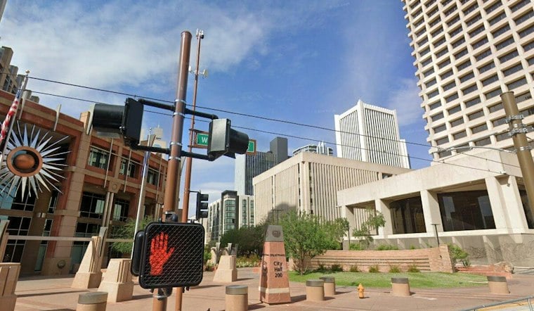
Phoenix is waking up clear and near 81 degrees Saturday morning, but the Valley will heat quickly under sunny skies. The afternoon high is expected to be near 101, with light southeast winds and virtually no chance of rain.
The latest National Weather Service forecast keeps the weekend dry and tranquil, with a low near 79 Saturday night. The outlook also sharpens the timing of a possible midweek weather change compared with Hoodline’s previous forecast.
Triple-Digit Heat Holds Through Tuesday
Sunday should bring another sunny 101-degree afternoon, followed by a Monday high in the upper-90s to low-100s. Tuesday is also forecast to remain in the upper-90s to low-100s, while overnight lows remain around 80, offering only limited relief after sunset.
The air will turn notably drier through the weekend, with afternoon humidity expected to fall into the 10% to 25% range. Outdoor plans are most manageable early in the day, with water, shade and breaks from the heat especially important during the afternoon.
Storm Chances May Increase in Higher Terrain
Storm chances may increase in higher terrain beginning Tuesday, while lower-desert chances remain limited later in the week. Temperatures are expected to stay in the upper-90s to low-100s next week.
Winds should generally stay light, with mostly modest afternoon gusts of 15 to 25 mph and a possible increase in breeziness early next week. No watches, warnings or advisories are posted for Phoenix, so the immediate forecast is mainly about managing persistent heat rather than preparing for a major weather event.




