

























































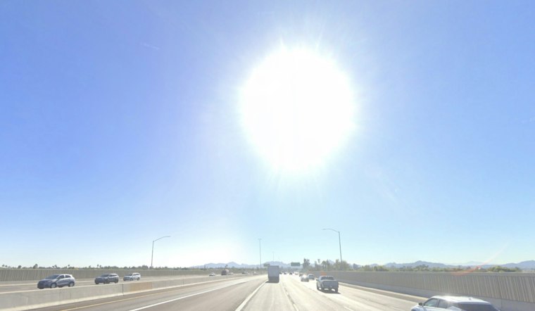
Phoenix is starting Saturday under clear skies near 86 degrees, but the Valley is still headed for a 102-degree afternoon before storm chances increase next week. The brief morning cool-down will not last long, with another stretch of triple-digit heat ahead.
Saturday Stays Hot And Mostly Sunny
Saturday should remain sunny after a slight chance of an early shower or thunderstorm, with temperatures climbing to about 102 degrees. Winds will stay light and shift through the day, generally remaining below 10 mph.
Sunday will be even warmer, reaching about 103 degrees under sunny skies. Overnight lows will hold near 86, offering limited relief after sunset; the National Weather Service Phoenix says temperatures should remain near to slightly above normal through the week.
Storm Chances Increase Monday Night
Monday is forecast to reach 104 degrees with a 40% chance of showers and thunderstorms, followed by a 50% chance Monday night as temperatures fall to around 83. Any stronger storms could produce brief heavy rain, lightning and sudden gusty winds, with localized flooding possible where downpours develop.
Tuesday brings a small step down to about 101 degrees, along with a 20% chance of showers and thunderstorms. Storm chances remain possible through Thursday, although forecasters say the timing and coverage are still uncertain and may favor higher terrain more than the lower desert.
Triple-Digit Heat Returns Later In The Week
Wednesday should be sunny near 101 degrees, while Thursday climbs to about 103 with a slight late-day storm chance. Friday currently looks sunny and hotter, with a high near 105.
The latest outlook is a meaningful change from Hoodline's Friday forecast, which focused on a hotter immediate stretch and weaker storm odds. No watches, warnings or advisories are currently posted, but residents should still plan around the afternoon heat, drink plenty of water and take shelter quickly if thunderstorms develop.





