

























































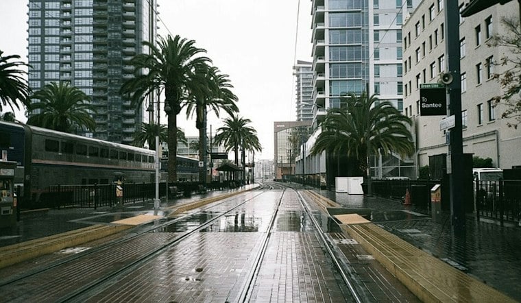
San Diego is starting Thursday under cloudy skies, with conditions expected to warm through the afternoon. The gray should thin into partly sunny skies, while rain stays unlikely across the city.
Coastal low clouds and fog may return overnight and linger into Friday morning, but Friday should turn drier and warmer. The National Weather Service says moderate HeatRisk is expected along the coast and western valleys Friday and Saturday.
Saturday Brings The Weekend Heat
Saturday is expected to be the warmest day of the stretch, with temperatures rising across the region. Some coastal and western valley communities could see more significant heat impacts, so outdoor plans may call for extra water, shade and a break from the afternoon sun.
The latest outlook sharpens the warm-up described in Hoodline's Wednesday forecast, which had already pointed toward a warmer weekend. The warm-up continues through Saturday.
Showers And Beach Concerns Arrive Sunday
Sunday brings a chance of rain showers and more clouds, with highs 5 to 10 degrees cooler than Saturday. Conditions dry Monday into Tuesday, with warmer weather returning Tuesday and Wednesday.
Beach plans may need a little extra attention Sunday through Tuesday. A south swell could bring 3- to 4-foot surf, while high tides of roughly 6.5 to 7 feet around 10 and 11 a.m. could increase the risk of coastal flooding and beach erosion, even though no hazardous marine conditions are expected through Monday.
Another Warm-Up Follows Next Week
Tuesday brings drier, warmer conditions. Wednesday is expected to continue the warming trend, keeping San Diego in a warm pattern after the weekend's brief turn toward clouds and showers.




