

























































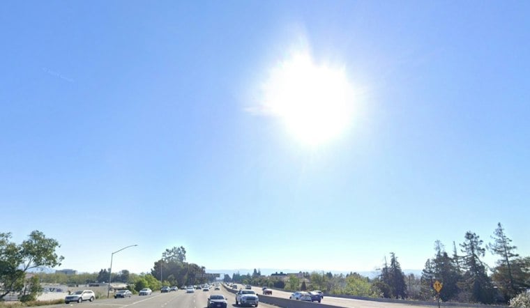
San Jose woke to clear skies, calm winds and temperatures in the upper 50s Wednesday morning, but the South Bay is headed for a much hotter afternoon. The high is expected to reach about 89 degrees under sunny skies, with no rain in the forecast. It is the start of a warm stretch that will peak this weekend.
Thursday should be nearly identical, followed by highs around 90 degrees Friday and 92 degrees Saturday. Sunday through Tuesday will remain sunny and warm, with highs near 90, 89 and 89 degrees, respectively, while overnight lows stay mostly in the upper 50s and low 60s.
Heat Peaks Saturday Across The South Bay
The National Weather Service says inland areas will face moderate heat risk through Tuesday, with hot and dry conditions continuing well beyond the workweek. Elevated fire weather conditions are expected in higher terrain through Thursday, where dry air and stronger winds could raise the risk of fast-moving fires.
Winds in San Jose should generally remain light, increasing from the north or northwest during the afternoon and reaching roughly 10 mph at times. The bigger concern is farther uphill, where overnight winds and poor humidity recovery are expected; anyone spending time outdoors should use extra care with open flames, power tools and other potential ignition sources.
Coast Brings Fog While Inland Areas Bake
The marine layer is expected to remain weak and mostly confined to the immediate coast, meaning coastal neighborhoods may see patches of fog while San Jose stays sunny and much warmer. The weather service also warned of minor coastal flooding around parts of San Francisco, San Pablo and Monterey bays through Thursday during the highest tides.
This is a sharper update to Hoodline's earlier San Jose forecast, with the latest outlook extending the warm spell through Tuesday and identifying Saturday as the likely hottest day. For South Bay residents, the practical forecast is simple: cool mornings, hot afternoons and a long run of dry weather.





