

























































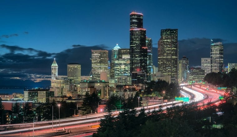
Seattle woke Tuesday under mostly cloudy skies, with readings in the upper 40s and 50s at 3 a.m., but the gray start is already on borrowed time. A brief chance of light rain is possible early, followed by a sunny stretch that carries much of the way through the weekend.
A Brief Morning Shower Gives Way To Sun
The Tuesday forecast calls for a slight chance of rain between 7 and 8 a.m., with cloudy or mostly cloudy skies and clearing from the north during the afternoon. Highs should reach about 66 degrees, with northerly surface winds of 4 to 7 knots increasing to 9 to 13 knots late Tuesday afternoon, according to the National Weather Service.
Tuesday night turns mostly clear, with temperatures falling to around 53 degrees. No watches, warnings, or advisories are in effect, so the main forecast headache is deciding whether the morning deserves an umbrella or merely a jacket.
Sunny Warmup Runs Through The Weekend
Wednesday brings clear skies and a high near 72 degrees, followed by another sunny day Thursday with a high around 73. Onshore flow returns Friday, while weekend temperatures remain near normal and lows generally stay in the upper 40s to mid-50s.
Saturday and Sunday look mostly sunny, with highs near 71 degrees and light winds. The run of dry weather is a notable shift from the wetter setup covered in an earlier Hoodline forecast, giving Seattle several days that should cooperate with outdoor plans.
Rain Risk Returns Monday
The next wrinkle arrives Monday, when the forecast calls for a chance of light rain and a high near 69 degrees. The timing of that weak system could still move, but the broader pattern points to a warmer, drier midweek followed by a modest turn back toward fall weather.
For now, Tuesday morning is one rain concern in Seattle proper, though low precipitation probabilities and a possible weak system could bring another concern Monday.



