

























































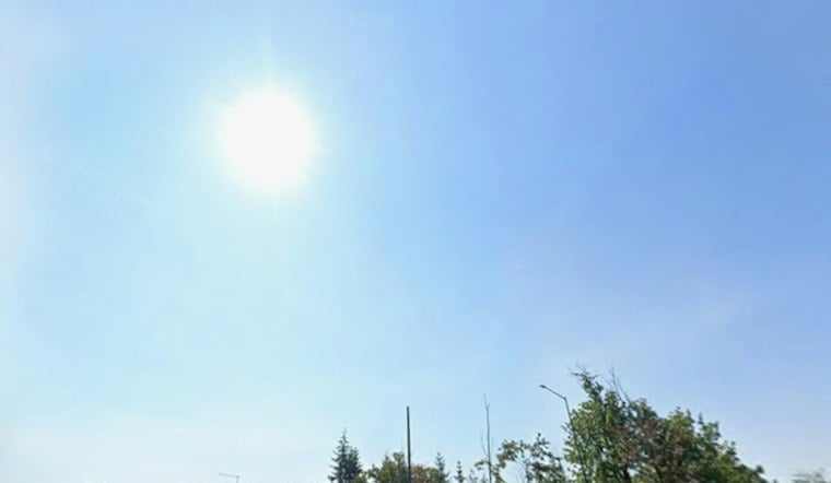
Seattle is waking up to clear skies and temperatures around 57 degrees Wednesday, with a calm start giving way to a mostly sunny afternoon near 75. Light north-northwest winds should stay between 2 and 6 mph, making this the week’s best bet for patios, walks, and outdoor plans before the clouds move back in.
Sun Gives Way To Clouds Thursday
Thursday will be noticeably cooler, with mostly cloudy skies and a high near 69 degrees. Friday stays cloudy near 68, but the rain risk remains low through the day before rising after 11 p.m., when showers could begin.
The latest outlook sharpens the turn toward unsettled weather described in Tuesday’s Hoodline forecast. For now, Seattle gets one more warm, dry afternoon before the forecast starts looking more like fall.
Saturday Brings The Best Chance Of Rain
Saturday is expected to be mostly cloudy with a chance of rain and a high near 68 degrees. Another chance of rain continues Saturday night before tapering, while Sunday brings partly sunny skies, a slight chance of rain between 11 a.m. and 5 p.m., and a high near 69.
More Comfortable Weather Returns Monday
Monday should turn mostly sunny near 70 degrees, followed by another mostly sunny day Tuesday with a high around 71. Overnight lows will generally stay in the mid-50s through the weekend and into early next week.
Small Craft Advisories Cover Strait Waters
There are no land-based watches or warnings for Seattle, but boaters should pay attention to marine advisories. The National Weather Service expects small-craft-strength winds in parts of the Strait of Juan de Fuca from late Wednesday night into Thursday, with a separate advisory covering outer coastal waters Thursday into Friday.
Outer-water seas could build to 8 to 11 feet Thursday, so conditions may be considerably rougher offshore than they feel on Seattle streets. For most city residents, though, the practical forecast is simple: enjoy Wednesday’s sun, keep a jacket handy Thursday and Friday, and have rain gear ready for the weekend.



