

























































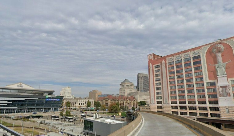
St. Louis is forecast to get a brief warm stretch before a wetter turn late in the week. Tuesday’s high should reach about 84 degrees, with Wednesday near 90, before storms arrive late Thursday and Friday and temperatures cool.
Sunny Tuesday Gives Way To A Hotter Wednesday
Tuesday will be mostly sunny.
Thursday will be warm.
Rain Chances Rise Thursday Night
Showers and thunderstorms become likely Thursday night, with a 70% chance of precipitation and a low near 68.
Friday looks markedly cooler, with showers and thunderstorms likely, mostly cloudy skies and a high near 75. The National Weather Service is forecasting widespread rainfall of roughly 1 to 3 inches from Wednesday night through Friday, with occasional heavy rain possible.
Cooler Weekend Weather Arrives
Saturday will have times of clouds and sun.
How the heat and rain compare
For Sept. 30, the National Weather Service St. Louis calendar lists a normal high of 76 degrees and a record high of 93, set in 1952. The forecast high near 90 is well above normal but below the daily record.
The forecast calls for roughly 1 to 3 inches of rain over multiple days. That differs from the separate St. Louis metro flash-flood event documented by the National Weather Service on July 26, 2022, when rounds of thunderstorms produced rainfall rates exceeding 2 inches per hour; that event does not mean this week’s rain will cause comparable flooding. During downpours, the National Weather Service advises drivers: “Turn Around, Don't Drown!”
The sharp shift from near-90-degree heat to cooler, unsettled weather means outdoor plans may be easiest Tuesday and Wednesday, while drivers should watch for ponding and reduced visibility during heavier downpours later in the week.





