

























































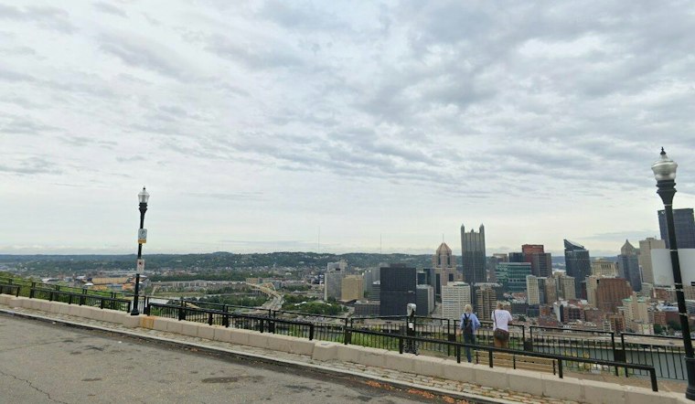
Pittsburgh is starting Tuesday in a blanket of fog and mist, with temperatures near 58 degrees before the clouds gradually give way to a warmer afternoon. The city is headed for a mostly dry stretch through Thursday, but a late-week front will bring showers and thunderstorms back into the forecast.
Areas of fog are expected to linger before 10 a.m., followed by mostly cloudy skies and a high near 75, according to the National Weather Service. Winds should stay light from the northwest, and no rain is expected Tuesday.
Warmth Builds Through Thursday
Fog could return Tuesday night after 11 p.m., with partly cloudy skies and a low around 55. Wednesday brings another foggy start before turning partly sunny and warmer, with a high near 77.
Thursday looks like the warmest day of the week, with mostly sunny skies and a high near 83. That is a notable update from the earlier Hoodline forecast, which also pointed to a midweek warmup but had less definition around the late-week rain.
Rain Chances Return Friday
Friday starts with a slight chance of showers before showers and thunderstorms become likely after about 2 p.m. The high should reach near 80, with a 60% chance of precipitation. The unsettled weather may continue into the weekend.
The unsettled pattern may linger through the weekend, with a 40% chance of showers Saturday and a 50% chance Sunday. Highs should settle near 70 Saturday and 69 Sunday before Monday turns mostly sunny and cooler, with a high near 64.
No watches, warnings or advisories are currently listed for the Pittsburgh area. For now, the best outdoor window is the middle of the week, while anyone making Friday or weekend plans should keep a rain-ready backup nearby.





