

























































Salt Lake City is in for a wet, stormy Monday, with showers and thunderstorms likely through the day and into the evening. The temperature should reach about 71 degrees before slipping through the afternoon, while clouds keep the city from getting much of a fall glow.
Rain and Storms Forecast Monday
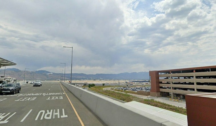
Early Monday conditions at the Salt Lake City airport were mostly cloudy and around 70 degrees. Widespread rain and thunderstorms are forecast for Monday, with storms possible in the afternoon.
The National Weather Service expects rainfall totals around a tenth to a quarter of an inch in the Salt Lake City area, according to the National Weather Service. Heavier cells could mean slick roads, brief visibility drops and thunder during the afternoon commute. The night is expected to be partly cloudy.
Regional Flood Risk Stays Focused South
The broader storm system is bringing a higher flash-flood threat to southern and central Utah, where a Flood Watch is in effect for portions of the region. Salt Lake City is not listed in that watch, but people heading south or east from the valley should check conditions before traveling, especially near slot canyons, washes and areas prone to runoff.
Sunshine Returns Tuesday
Tuesday should bring a sharp change, with mostly sunny skies and a high near 72 degrees. Overnight temperatures will fall to about 48, followed by sunny conditions Wednesday with a high near 73.
The warming trend continues later in the week, with pleasant conditions expected through the weekend. In other words, Monday brings the umbrellas, but the rest of the week looks like it is already trying to make amends.


