

























































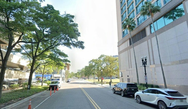
Jacksonville wakes Saturday to clear skies, crisp low-60s temperatures and a sunny day topping out near 81 degrees. Rain is not expected, but beach conditions remain dangerous even as the weather looks unusually inviting.
The National Weather Service Jacksonville says a Coastal Flood Advisory remains in effect for coastal Duval County until 5 a.m. Sunday, September 27, with minor flooding possible around high tide on roads, lots and parks. A high risk of rip currents continues through Sunday evening, September 27, and isolated road closures are possible.
Afternoon Winds Stay Manageable
North winds around 8 to 9 mph will keep the air comfortable, with a northeast sea breeze developing late Saturday afternoon. Temperatures should hover near 80 degrees through the afternoon before slipping through the 70s after sunset, with no rain in the forecast.
Cool Night Gives Way To Sunday Heat
Saturday night should stay mostly clear, with a low around 60 degrees near Jacksonville and cooler readings possible farther inland. Sunday turns warmer and remains sunny, reaching about 87 degrees, followed by a mostly clear night near 66.
The current alert timing extends the beach danger into Sunday evening, a substantive update to Friday's Hoodline forecast, which focused on the initial weekend cooldown and surf concerns.
Heat Builds Before Rain Returns
Monday through Wednesday will bring a return to late-September heat, with highs near 89 to 90 degrees and mostly sunny skies. Shower and thunderstorm chances rise Thursday and Friday, reaching 30% Thursday and 50% Friday.
Beachgoers Should Take The Current Risk Seriously
Swimming near a lifeguard is the safest choice while the rip-current risk remains high. Anyone caught in a rip current should relax and float, then swim parallel to shore rather than fighting the current; if escape is not possible, face the beach and wave for help.





