

























































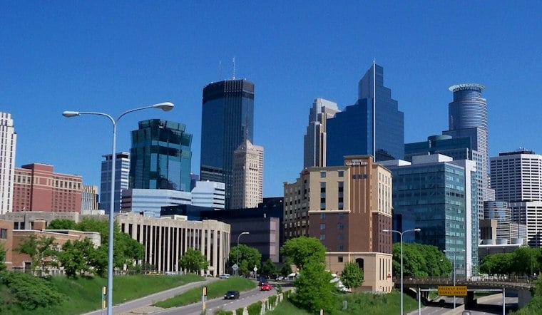
Minneapolis should get a quiet, warm Thursday before weather turns more unsettled Friday evening. Patchy fog may give way to mostly sunny skies, with temperatures warming to near 80. South-southwest winds around 10 knots, with speeds potentially reaching 12 knots and gusts of 17 knots, will make Thursday one of the calmer days in the forecast.
Storm chances increase Friday evening
Friday is expected to be warmer, with a high near 83 and strengthening southerly winds. Showers and thunderstorms may develop in the late afternoon or early evening and dissipate by about midnight.
The storm outlook is not equally strong across the region. The National Weather Service Twin Cities/Chanhassen says the strongest potential is favored across northern and central Minnesota, while confidence is lower farther south toward the Twin Cities. That means Friday's forecast supports preparation for changing conditions, but it does not establish that Minneapolis will experience severe weather or flooding.
Why modest rain can still cause trouble in Minneapolis
Rainfall totals alone do not determine whether Minneapolis streets flood. The city's Public Works Flood Mitigation Program says heavy rain can produce urban flooding away from bodies of water, particularly where storm-drain capacity, inlets or available green space are limited. The risk is therefore localized: a forecast amount that is manageable in one part of the city can overwhelm drainage in another.
One documented example is the 35th Avenue North neighborhood. City records say some streets there flood at least once during most years, and the city is planning storm-sewer improvements for the area in 2026. That history identifies an existing vulnerability; it does not predict that Friday's storms will flood the neighborhood.
Minneapolis is also using green infrastructure as part of its response. The Minneapolis Street Guide says such installations are designed to reduce localized flooding and decrease the volume and rate of runoff entering storm sewers and nearby waters. Those measures can reduce risk, but they do not eliminate the effects of intense or poorly timed rain.
Past flooding and long-term trends add context, not certainty
Minneapolis experienced severe flooding in July 1997. According to Minneapolis Public Works, a series of rainstorms that month caused severe flooding throughout the city and damaged homes, businesses and vehicles. That event is historical context, not evidence that this weekend's storms will produce comparable damage.
For broader climate context, the University of Minnesota Climate Adaptation Partnership reports that Minnesota's largest single rain event grew by 13% between 1895 and 2025 and that heavy-rain events have become more frequent and intense. That statewide trend helps explain why drainage and flood mitigation matter, but it cannot determine Friday's storm strength, rainfall total or location.
A brief break Saturday, then a wetter pattern
Saturday should bring mostly sunny skies and a high near 73. The pattern turns cooler and more unsettled Sunday, with chances of showers and thunderstorms and temperatures in the low to mid-70s. Rain and thunderstorm chances rise Sunday night and Monday, with Monday's high near 69. A cooler, drier air mass is expected after Monday.
People with Friday evening plans should monitor updated forecasts and have an indoor alternative when storms approach. Drivers should avoid water-covered roads, while residents in locations with recurring drainage problems may want to clear nearby inlets if it can be done safely. Nothing in the current outlook establishes citywide flooding, a severe-weather warning or a specific Minneapolis damage area.





