

























































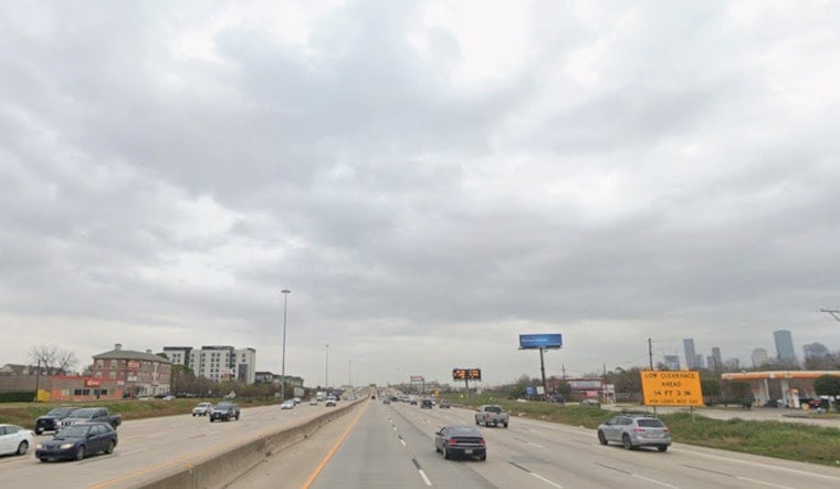
Houston is starting Friday, September 4, with clear skies, temperatures near 81 degrees and humidity thick enough to make the morning feel instantly sticky. The city will heat up toward 91 degrees before scattered showers and thunderstorms become more likely this afternoon.
Storm Chances Peak Friday Afternoon
Rain chances rise through the morning, with the best opportunity for showers and thunderstorms arriving between about 1 p.m. and 3 p.m. The National Weather Service Houston/Galveston says storms could move slowly, bringing brief heavy downpours and isolated gusty winds.
Winds will stay light, generally 5 mph or less, which could leave the air feeling stagnant between storms. The agency says heat-index readings will reach triple digits, so outdoor plans may feel tougher than the thermometer suggests even when skies are mostly sunny.
Weekend Keeps The Storm Pattern Going
Saturday looks similar, with a high near 90 degrees and showers and thunderstorms likely from early afternoon into the evening. Sunday will reach about 91 degrees, with a 50% chance of showers and thunderstorms after 7 a.m.
Labor Day brings the hottest forecast high of the weekend at around 92 degrees, along with mostly sunny skies and only a slight chance of afternoon storms. The broader Houston-Galveston area will continue seeing inland temperatures in the low to mid-90s, while coastal communities stay somewhat cooler.
No Watches Or Warnings Are In Effect
No watches or warnings are posted for the area. Still, anyone heading outside should plan around the afternoon heat, drink plenty of water and move indoors if thunder develops, particularly because heavy rain can arrive quickly from slow-moving storms.
The unsettled summer pattern is expected to linger into next week, with daily chances for scattered showers and thunderstorms and highs generally near 91 or 92 degrees. The latest outlook is available from the National Weather Service.




