

























































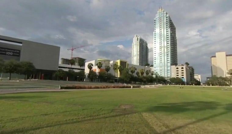
Tampa woke Tuesday morning with temperatures around 76 degrees, but the calm start will not last. The heat is expected to build near 90 degrees before scattered showers and thunderstorms develop during the afternoon and early evening.
Afternoon Storms Could Disrupt Plans
Rain chances are around 40% Tuesday, with storms most likely during the afternoon and early evening before potentially dissipating between 8 and 11 p.m. Winds should stay weak, though the strongest storms could bring gusty winds.
The National Weather Service expects a similar setup Wednesday, with a high near 90 and a 50% chance of afternoon storms. The latest outlook is a meaningful update to the earlier Hoodline forecast, especially with drier air and lower dew points now expected late in the week.
Drier Air Arrives Before The Weekend
Thursday temperatures remain seasonal, with rain chances decreasing. Friday brings drier air and lower dew points, while northeast winds increase.
The weekend brings slightly cooler conditions, with morning lows ranging from the mid-60s to low 70s. Forecasters expect drier air to move in, with humidity easing further as dew points drop into the 60s.
Best Outdoor Window Comes Early
Storm chances increase during the afternoon Tuesday, while anyone caught outside when thunder develops should head indoors. Boaters should remember that even otherwise light winds can turn gusty and seas can become rough near thunderstorms.





