

























































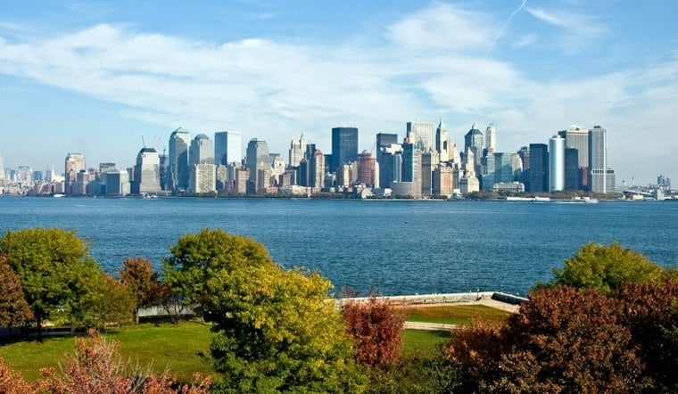
New York City is expected to start Wednesday under mostly cloudy skies, with a high near 61 degrees. It will be windy, and the weather turns more complicated by Friday as rain chances, rough surf and coastal flooding concerns build.
A Mostly Cloudy Start to a Windy Wednesday
Wednesday should stay dry, with mostly cloudy skies and windy conditions. Thursday is forecast to reach near 64 degrees, with gusts that could reach 29 mph, especially in exposed neighborhoods and near the coast.
The National Weather Service says the most vulnerable waterfront spots, including parts of Staten Island, could briefly reach minor coastal-flood benchmarks around Wednesday evening’s high tide.
Rain Chances Rise Friday Through Sunday
Friday brings a chance of precipitation. Precipitation is likely mainly Friday night and Saturday, then expected to move east Sunday, although the exact placement of the coastal storm remains uncertain and eastern parts of the city and Long Island could see more rain than inland neighborhoods.
The latest outlook is a more consequential turn from the earlier midweek beach forecast covered by Hoodline. Forecasters say the storm could affect the region from Friday into Sunday, bringing stronger winds, high surf, beach erosion and multiple rounds of minor to locally moderate coastal flooding.
Beachgoers Should Skip Risky Water Conditions
A formal high rip-current risk is posted for New York’s ocean beaches through Thursday afternoon, while the weather service expects dangerous surf conditions to continue into the weekend. Persistent northeast winds and rising tides could make beaches, jetties and exposed waterfront paths especially hazardous even during breaks in the rain.
For the city’s inland neighborhoods, the practical forecast is simple: a dry but windy Wednesday and Thursday, a Friday with a chance of precipitation, and a damp, unsettled weekend. The National Weather Service says the storm track will determine how much rain and coastal flooding New York ultimately sees.





