

























































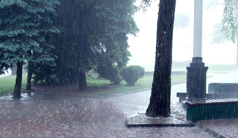
San Antonio is waking up Friday to fog, heavy humidity and a serious flood threat. Temperatures were around 75°F before dawn, with mist and northeast winds near 20 mph at the latest observation. Showers and thunderstorms are likely through late morning, with a high near 81°F and more rain possible into the afternoon.
Flood Watch Runs Through Friday Evening
A Flood Watch remains in effect for Bexar County and a broad stretch of South Central Texas through 7 p.m. Friday. The National Weather Service Austin/San Antonio says widespread rainfall totals of 1 to 4 inches are possible across the watch area, with isolated amounts near 8 inches.
That setup could send creeks and streams out of their banks and create flooding in low-lying roads, poor-drainage areas and parts of the urban core. The heaviest activity is expected before 1 p.m., followed by a lingering chance of showers and thunderstorms through the afternoon.
The latest outlook follows Hoodline’s Thursday report, but Friday’s forecast puts the most immediate concern on morning storms and renewed runoff across already saturated areas.
Weekend Rain Chances Linger
Friday night brings another 60% chance of showers and thunderstorms, with storms potentially continuing into early Saturday. North-northeast winds could gust up to 20 mph overnight.
Saturday should reach about 82°F with a 40% chance of showers and thunderstorms. Sunday stays mostly cloudy with another 40% storm chance, while north-northeast winds could gust up to 30 mph.
Sunshine Returns Next Week
The pattern finally dries out Monday, which should be mostly sunny with a high near 84°F. Tuesday through Thursday look sunny as well, with highs in the lower 80s each day. Tuesday's overnight low is forecast near 66°F.





