

























































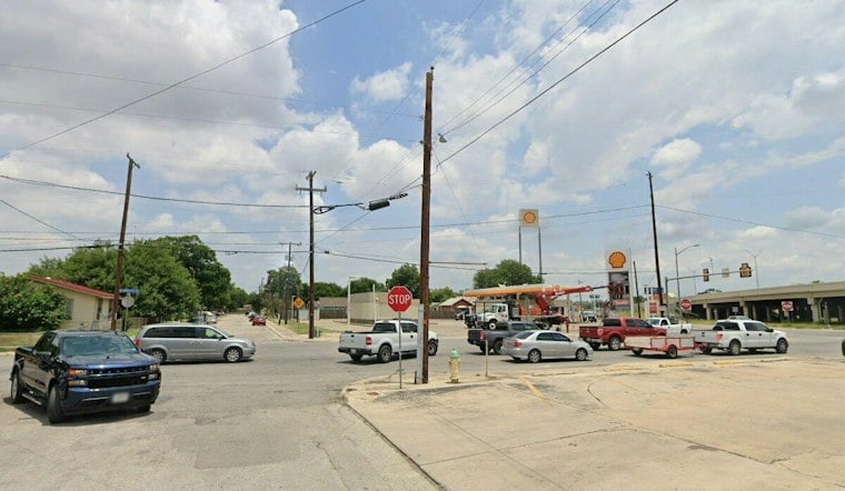
San Antonio is heading into a soggy and potentially dangerous Thursday, with overcast skies and temperatures around 81 degrees early before storms take over. The high should reach about 88, but heavy rain and flooding — not the heat — are the main concerns through Friday.
Flood Watch Runs Through Friday Evening
Showers and thunderstorms are expected throughout Thursday, with a 90% chance of rain. The National Weather Service has a Flood Watch in effect through Friday evening, warning that widespread totals could reach 1 to 4 inches, with isolated amounts near 8 inches.
Urban areas, low-lying roads, creeks, streams and low-water crossings could flood as storms repeatedly move across the region. Thursday's forecast is a sharper turn from the outlook covered by Hoodline Wednesday, with storms now expected to be ongoing during the morning and continuing into Friday.
Rain And Cooler Temperatures Stick Around
Friday should be cooler, with a high near 81 and an 80% chance of showers and thunderstorms. Rain chances remain at 50% Friday night and Saturday, while north-northeast winds of 10 to 15 mph could gust to 25 mph.
Sunday brings another chance of showers and thunderstorms, with a high near 82 and a 40% chance of rain. The weekend will stay mostly cloudy, with overnight lows in the upper 60s to low 70s.
Clearer Skies Return Next Week
The forecast finally dries out Monday, when skies will be mostly sunny and a high near 83 is expected. Tuesday looks mostly sunny, with a high near 83 and an overnight low near 66.
What San Antonio Residents Should Know
Drivers should allow extra time, avoid flooded roadways and never attempt to cross water covering a street. Residents in flood-prone areas should monitor later forecasts and be ready to act if a Flood Warning is issued.





