

























































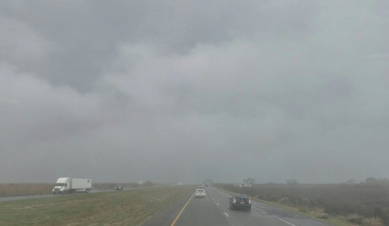
Cloudy skies are hanging over Bakersfield early Saturday, with a high near 70 still on tap. But Halloween's dry window has an expiration time: rain is likely after 5 p.m., with a much wetter night ahead.
Rain Holds Off Until After 5 P.M.
The earlier Hoodline outlook gives an 80% chance of rain Saturday night. Saturday should stay mostly cloudy through the afternoon. The high should top out near 70 before temperatures fall to around 57 Saturday night.
Saturday night looks like the wettest stretch. According to the National Weather Service, the Foothills have a 90% chance of at least a quarter inch of rain by 11 p.m.; across the area, the forecast gives a 40–65% chance of at least a half inch from Saturday evening through midday Sunday. Halloween costumes may need to make room for rain jackets.
Sunday Starts Wet, Then The Pattern Flips
Rain is likely before 10 a.m. Sunday, followed by mostly cloudy skies and a cooler high near 64. Sunday night should turn partly cloudy, with temperatures dropping to around 51.
Mountain travelers should take extra care: a Winter Weather Advisory covers higher Sierra Nevada elevations from 8 a.m. Saturday through 7 a.m. Sunday, but it does not include Bakersfield. Snow is possible above roughly 7,000 feet while valley locations stay focused on rain.
Sunshine Returns Monday
The wet spell should be brief. Monday is forecast to be sunny with a high near 69, followed by a mostly sunny Tuesday near 72 and a high near 71 Wednesday.
For Halloween plans, the best bet is to get outdoor activities finished earlier Saturday and keep a waterproof layer nearby for the evening. Once the weekend system moves out, Bakersfield gets a few calmer, warmer days before another round of cool fall mornings.




