

























































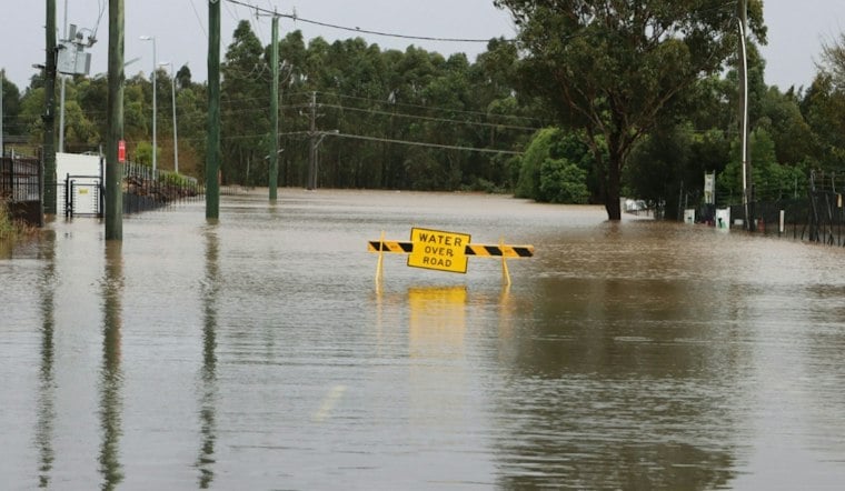
Neighborhoods that almost never flood could see standing water this winter if a storm lines up with a King Tide, according to new modeling that shows the Bay Area's shoreline is more fragile than many residents realize. San Rafael, Corte Madera, Larkspur and Martinez are among the first places that would feel it, with flooding possible once combined sea-level rise, tides and storm surge reach just one foot above normal.
That threshold, known as total water level, folds together sea-level rise, King Tides, climate change and storm surge into a single number used by planners to map risk, as reported by CBS News. At just one foot of total water level rise, San Rafael's flood risks touch CA-101, CA-580, the SMART train and the Bay Trail, while Corte Madera and Larkspur would see impacts to US-101 and the Larkspur Ferry Terminal. Martinez, meanwhile, faces risk to the Port of Martinez, Union Pacific freight rail and its lagoons. The outlet's modeling comes from the Bay Conservation and Development Commission's Adapting to Rising Tides program, which has studied how sea-level rise threatens transportation, vulnerable communities, future growth areas and natural lands across the region.
The timing matters because the Bay Area could see three feet or more of flooding if a storm coincides with a King Tide, per the same CBS San Francisco report. King Tide events typically fall around Thanksgiving and Christmas, and the California Coastal Commission's California King Tides Project has scheduled this winter's highest tides for November 24-26, December 23-25, and January 21-22, 2027 — meaning the coming weeks and the holiday season will offer a real-time preview of what higher seas could mean for daily life.
Where Two Feet of Water Would Hit Hardest
Push the total water level to two feet, and the map of affected areas widens considerably, according to the CBS report. Marin City, Suisun City, South Richmond, downtown Oakland and West Oakland, San Jose, and Redwood City would all see more widespread impacts. In Oakland, that includes downtown and Jack London Square, the Jack London ferry terminal, and the Port of Oakland, while the Port of Richmond becomes vulnerable at the same threshold.
San Jose's exposure runs through lagoon and tidal marsh habitat, Champion light rail station, VTA and Amtrak passenger rail, Union Pacific freight rail, and truck traffic on SR-237, the outlet reports. The Suisun-Fairfield passenger rail station and a Union Pacific freight line in Redwood City would also be affected at two feet. Redwood City has already been grappling with this risk directly: officials there presented a flood-ready downtown framework earlier this year after a January King Tide reached parts of the city's downtown core.
Marin City's situation has drawn attention well before this winter's forecast. The Marin County Flood Control and Water Conservation District completed a portable pump station at Drake Avenue and Donahue Street in fall 2024, designed to divert stormwater directly into Richardson Bay during high tides, according to the Marin County Flood Control District. That system was first put to the test during a December 2024 storm and King Tide event, and it illustrates the kind of stopgap infrastructure communities are leaning on while larger regional fixes remain unfunded. Nearby, Hoodline has reported on how Bothin Marsh floods repeatedly at Tam Junction, with a long-term fix still years away.
Three and Four Feet Bring Bigger Economic Stakes
At three feet of total water level rise, concerns expand to Napa, East Oakland and the Coliseum area, Alameda, Mountain View, East Palo Alto, and San Francisco's Bayview-Hunters Point, per CBS's reporting. Napa and East Palo Alto impacts primarily hit natural lands such as depressional wetlands, lagoons and snowy plover habitat, while East Oakland's exposure centers on BART and Oakland Airport. Alameda's risk involves its Naval Air Station and the Alameda Gateway ferry terminal, and Mountain View's North Bayshore area and US-101 truck traffic would also be affected.
San Francisco's Mission Bay and Embarcadero emerge as high-consequence zones once total water level reaches four feet, with impacts reaching the Port of San Francisco, the San Francisco Ferry Terminal, a Muni bus route and the Third Street Muni line, the station reports. At that level, Embarcadero flooding could permanently affect nearly 300 existing jobs, cut off almost 7,000 daily ferry passengers, force five Muni bus lines to reroute, and disrupt commutes for roughly 21,000 Muni riders a day. Citywide, four feet of flooding could put more than 100,000 job spaces at risk of relocation or loss, render nearly 13,000 housing units uninhabitable, force the rerouting of over 5 million daily highway vehicle trips, block more than 60,000 daily commuters from their usual transit stations, and destroy more than 20,000 acres of habitat, according to the same CBS San Francisco analysis. The outlet notes this kind of flooding is projected to become the new normal sometime between 2060 and 2120, meaning this winter's storms serve as an early indicator of conditions still decades away.
San Francisco's Waterfront Faces a $17 Billion Price Tag
San Francisco is already moving on a large-scale response to that long-term threat. The Port of San Francisco and the U.S. Army Corps of Engineers' San Francisco Waterfront Coastal Flood Study was published in the Federal Register on July 31, 2026, proposing a $17 billion plan over three decades to raise parts of the waterfront by up to seven feet and reinforce 7.5 miles of shoreline against sea-level rise and earthquakes, according to KQED. Without that work, the Port estimates the city could face $23 billion in climate-driven flood damages over the next century. San Francisco voters approved a $425 million bond for seismic and flood protection along the Embarcadero Seawall in November 2018.
San Francisco International Airport is pursuing its own defense, advancing a $587 million Shoreline Protection Program designed to withstand 42 inches of sea-level rise plus a 100-year storm surge, according to SFO.
A Region-Wide Funding Gap Looms Over Every Fix
Even with San Francisco's ambitious plan, the region as a whole is nowhere near fully funded. Regional estimates put the sea-level-rise adaptation need at roughly $96 billion, per SFGATE. Earlier joint regional assessments had put the total adaptation bill as high as $110 billion.
Against that need, current revenue estimates are about $6 billion, leaving an approximately $90 billion gap in sea-level-rise adaptation funding. State guidance updated by the California Ocean Protection Council in 2024 recommends that local and state agencies plan for 1.0 to 6.6 feet of sea-level rise along the California coast by 2100, depending on global greenhouse gas emissions, according to the California Coastal Commission.
Not every community has equal access to engineering solutions on the scale of San Francisco's or SFO's.





