

























































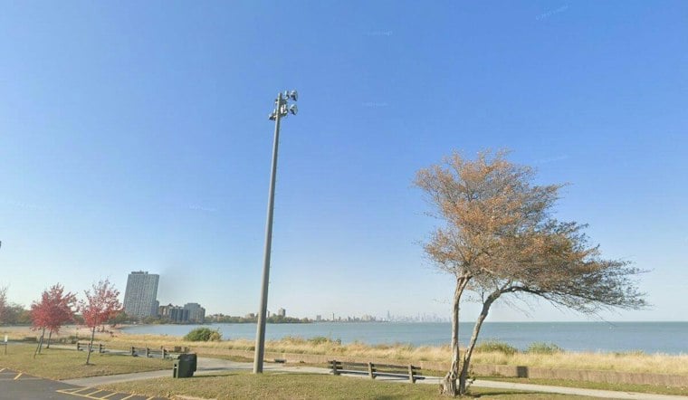
Chicago can expect crisp, sunny conditions Thursday, with a forecast low of 54 and a high near 70. The day stays dry and bright, offering a pleasant break before rain chances return Friday and an unusually warm Saturday takes over.
Northwest winds will run around 5 to 10 mph and could occasionally gust near 15 mph this afternoon. The National Weather Service Chicago/Romeoville has no watches or warnings posted for the city, and tonight should remain mostly clear with a low near 54.
Friday Brings The First Rain Chance
Friday starts partly sunny before shower chances increase. The chance of precipitation is 40%, with thunderstorms possible after 4 p.m.
The forecast has shifted notably from Wednesday's Hoodline forecast, which called for a cooler and mostly dry Friday. Friday's high is now expected to reach about 71, while breezy southeast winds could gust to 20 mph Friday night.
Saturday Brings 80-Degree Warmth
Saturday looks like the weekend standout, with mostly sunny skies and a high near 80. South winds around 10 mph may gust to 20 mph, so patio umbrellas and lightweight decorations could need a little extra attention.
A slight chance of showers arrives after 1 a.m. Sunday, followed by a partly sunny day with a high near 69. Monday rebounds to about 76 degrees, with a chance of showers at night.
Cooler Air Arrives Tuesday
Showers are possible Monday night into Tuesday, when the high should drop to around 64. Tuesday night turns partly cloudy and colder, with a low near 49, while Wednesday looks mostly sunny with a high near 61.



