

























































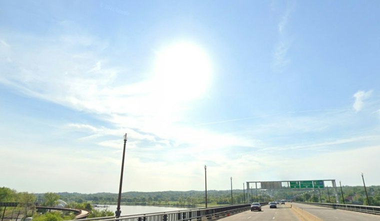
Washington is waking to clear skies and brisk air Tuesday, with the District headed for a sunny high in the 60s. Rain is staying out of the forecast, but northerly winds will make the day feel more like fall than the thermometer suggests.
Sunny Tuesday Brings Afternoon Breeze
The latest observation at Reagan National showed a few clouds and temperatures in the upper 40s early Tuesday. The National Weather Service expects northerly winds, with airport gusts around 17 mph during the afternoon.
Tuesday night should remain clear, with temperatures dropping to around 49 degrees. Wednesday will be sunny but cooler, topping out near 66, while Thursday rebounds slightly to about 68 degrees.
Cooler Nights Set Up A Crisp Weekend
The cooler stretch becomes more noticeable Friday and Saturday, when sunny skies will come with highs near 61 degrees. Overnight lows are expected to fall into the low 40s, including around 42 degrees Friday night and 41 degrees Saturday night.
Sunday should bring another sunny high near 66, followed by a mostly sunny Monday near 70. It is a drier and more settled follow-up to the earlier Hoodline forecast, with no rain expected across the District through Monday.
Coastal Winds And Tidal Water Bear Watching
While Washington has no active weather advisory, the offshore coastal storm is expected to keep winds gusty near the Chesapeake Bay and along areas east of Interstate 95. Minor tidal flooding could affect locations including Alexandria during Tuesday night or Wednesday high-tide cycles, with elevated water levels potentially lingering into late week.



