

























































Decatur city commissioners voted in favor of an updated Destination 2030 comprehensive plan this week, locking in a vision for how the city should grow over the next decade — one centered on the idea that residents should be able to reach a grocery store, park or dentist within a short walk, bike ride or transit trip. The vote capped a nine-month process that included public meetings, an online survey, and a lot of debate over just how many Decatur residents actually weighed in.
A Refresh, Not a Rewrite
The newly approved update builds on the original Destination 2030 plan, which the city adopted in 2021 as its vision for the following ten years. As reported by decaturish.com, the plan sets a community vision spanning land use, housing, economic development, transportation, parks, climate action, and arts and culture. State law requires municipalities to update comprehensive plans every five years to remain eligible for state funding, which is part of why this refresh landed now.
Commissioner Cheryl Kortemeier described the update as less of an overhaul and more of a checkpoint — a chance to see whether the city's vision from five years earlier still resonated with residents, according to the same report. Consultant TSW was brought in to shepherd the city through the process, with its work focused primarily on land use, as decaturish.com reported in earlier coverage of the draft.
Turnout Questions Linger
Not every commissioner left the vote satisfied with how the public process unfolded. Commissioners expressed disappointment that few residents participated in the update, even though TSW says it reached about 400 people in person and online for input and received more than 2,900 individual comments, per the firm's own accounting relayed in decaturish.com's reporting.
Commissioner Mark Arnold was blunt about his reservations, saying he would not consider the plan representative of community will. That tension — a process that generated thousands of comments yet still left a commissioner questioning its legitimacy — sat at the center of this week's discussion even as the plan moved forward.
What 10-Minute Neighborhoods Actually Mean
At the heart of the update is the 10-minute neighborhood concept, meaning residents could meet most daily needs within a short walk, bike ride or transit trip. The update encourages this model and lays out ways Decatur could foster it, including implementing the Decatur PATH plan and encouraging redevelopment that adds housing near MARTA stations and commercial areas.
That framing fits into broader transportation priorities the city has already been pursuing. Decatur's transportation planning focuses on promoting a safe, integrated system that supports biking, walking, neighborhood connectivity and transportation equity, according to the city's own transportation planning page. A related PATH connectivity plan suggests seven new trail segments linking downtown, neighborhoods, schools and parks, and the city envisions downtown and the Decatur MARTA station evolving into a mobility hub connecting walking, biking, transit, ridesharing and driving. Decatur currently has three MARTA rail stations along the east-west Blue Line.
New Map, Old Limits
The update also overhauls the city's future land use map. New designations include Downtown Decatur, Local Activity Center, Neighborhood Village Center, Medium-Density Neighborhood, Low-Density Neighborhood, and Parks and Green Spaces, replacing older categories like commercial, institutional, mixed-use, park, vacant and untaxed.
Allison Stewart-Harris, a senior planner with TSW, said the updated designations are more robust than what the city has used over the previous decade-plus, offering more nuance about how downtown and other higher-density areas may develop. She added that the plan can help the city benchmark potential accomplishments and measure progress over the next five years, with its community work program laying out many ideas meant to track that progress.
Still, future land use designations don't change what people are legally permitted to do on their land — that distinction matters because the comprehensive plan itself is not legally binding and changes no zoning regulations. Zoning remains the finer-grained, legally binding document that actually determines building height, setbacks and permitted uses.
Mayor Stresses Plan's Limits
Mayor Tony Powers reiterated that the updated comprehensive plan is not a legal document, and said any proposed zoning changes down the road would require their own public input process. He framed those future actions as additional opportunities for public engagement and for the city to gauge community sentiment.
The update also addresses how the city should weigh future land annexations, saying such decisions should consider effects on diversity, affordable housing, the tax base and city services. That emphasis on affordability echoes recent efforts like the Decatur Housing Authority's $30 million redevelopment of the Gateway Manor and Oakview apartments into 155 energy-efficient units at Trinity Walk, a project where 95% of units carry affordability restrictions aimed largely at families earning 60% of area median income, according to the Atlanta Regional Commission. The commission recognized that project with a 2021 Regional Excellence Award Honorable Mention.
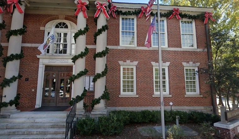
Decatur City Hall, located at 509 N. McDonough St., remains the seat of municipal government where the vote took place this week. With the comprehensive plan now approved, attention turns to whether the ideas embedded in it — trail connections, denser housing near transit, a revamped land use map — eventually translate into the zoning changes that would make them enforceable.





