

























































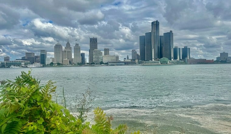
Detroit is waking under cloudy skies and temperatures in the low 50s Thursday morning, with a mostly gray day ahead before rain moves in. The city could reach the mid-60s, but the weather takes a sharp turn after dark.
Clouds will hang on through the afternoon, with a slight chance of light rain after 5 p.m. Thursday’s high could reach 65 degrees.
Rain Takes Over Thursday Night
Rain and possibly a thunderstorm are forecast Thursday night before 2 a.m., followed by rain likely. The temperature should stay near 60 degrees. East-southeast winds of 8 to 14 mph will become southwest after midnight, with gusts up to 28 mph. Rainfall could total between a tenth and a quarter-inch, with higher amounts possible in thunderstorms. The updated Detroit forecast gives the timing, temperatures, wind and rainfall amounts.
The rain is tied to a low-pressure system crossing the central Great Lakes, followed by a strong cold front moving across southeast Michigan Friday. The National Weather Service expects showers to spread into the area late Thursday afternoon and linger into early Friday, with lake-effect rain showers developing over the Thumb by Friday evening. The front is expected to bring gustier winds and much chillier conditions as it passes.
Friday brings a chance of rain before 7 a.m., then rain likely after 3 p.m. The temperature should fall to around 56 degrees by 5 p.m., with west-northwest winds of 14 to 16 mph and gusts up to 28 mph. Friday night, a chance of rain continues before 7 p.m.; skies should gradually clear, with a low near 38 degrees and north winds gusting up to 33 mph. The updated point forecast lists Friday’s rain timing and temperatures. A Gale Warning remains in effect for Lake Huron from Friday afternoon through late Friday night, the current marine warning period.
The marine warning is for hazardous conditions on the water, not a wind warning for Detroit itself: the National Weather Service defines a Gale Warning as sustained winds or frequent gusts of 34 to 47 knots. On Lake Huron near Port Sanilac and Port Huron, Friday night waves are forecast to build to 10 to 14 feet, with occasional waves around 18 feet. The Lake Huron marine forecast details the warning and expected waves.
Sunny Weekend Offers A Quick Reset
Showers should taper Friday night before Saturday turns sunny but chilly, with a high near 52 degrees. Sunday looks brighter and milder near 62, giving outdoor plans a much better shot after the wet and windy finish to the workweek. The updated Detroit forecast calls for a Saturday high near 52 and a sunny Sunday near 62.
The forecast then settles into a dry stretch, with sunny or mostly sunny skies and highs in the mid-60s from Monday through Wednesday. The latest outlook is a more specific update to Wednesday’s Hoodline forecast, especially on the timing of Thursday night’s rain and Friday’s stronger winds.





