

























































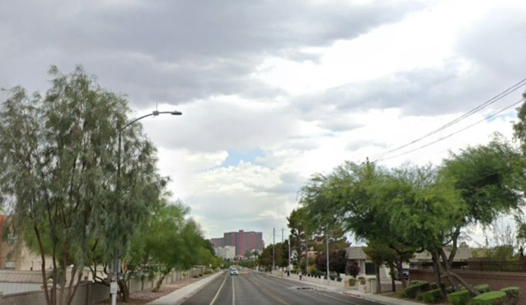
El Paso is starting Saturday, October 24, with clear skies and temperatures in the low 60s, but the calm morning is expected to give way to another round of thunderstorms this afternoon. The city could reach near 80 degrees, with the biggest concern arriving after sunset: heavy rain, gusty winds and localized flash flooding.
Storms Arrive During Saturday’s Second Half
Showers and thunderstorms are possible Saturday afternoon and evening, with a 60% chance of precipitation across the El Paso area. Southeast winds will run 7 to 10 mph with gusts near 20 mph, while stronger storms could produce sudden damaging wind gusts and large hail, according to the National Weather Service.
No Flood Watch is in effect for Texas or New Mexico. Several rounds of storms could bring widespread rainfall of up to 1 inch, with isolated totals of 2 to 3 inches creating flooding risks in poor-drainage areas, low-water crossings and other flood-prone locations.
Residents should monitor later alerts and avoid driving through water-covered roads or crossings. Even a storm that looks brief can quickly create dangerous runoff, especially after multiple rounds move through the same area.
Sunday Brings A Break Before A Drier Stretch
Sunday, October 25, has a forecast high of 78 degrees. A 40% chance of showers and thunderstorms returns Sunday night, with temperatures falling to around 59.
Monday stays partly sunny with a high near 74 and only a slight storm chance, while Tuesday and Wednesday look mainly dry and comfortable with highs in the mid to upper 70s. Rain chances return after Wednesday, with a slight chance of showers Thursday and Friday.





