

























































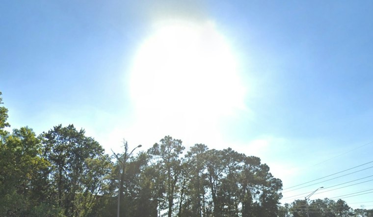
Jacksonville gets one last hot, mostly sunny day Friday, but the weekend forecast is about to turn sharply cooler and much windier. Patchy fog may slow the early morning drive before lifting by 10 a.m., followed by a high near 88 under sunshine.
Fog Gives Way To Summerlike Sun
Friday’s southwesterly flow will develop ahead of the front, with a 20% chance of precipitation and a chance of showers and a few thunderstorms, mainly across northeast and north central Florida. Friday night remains partly cloudy with a low around 70. A cold front will cross overnight, bringing stronger winds and much drier air.
The shift is sharper than the warm, sunny stretch outlined in Hoodline’s earlier Jacksonville outlook, with the newest forecast adding more serious marine and beach concerns for the weekend.
Saturday Brings The Big Temperature Drop
Saturday will feel different, with a chance of rain showers before 3 p.m., partly sunny skies and a high near 75. North winds will run around 15 to 25 mph, with gusts around 35 mph, while the chance of precipitation stands at 30%.
The National Weather Service Jacksonville says gale-force winds are possible over area marine waters, with coastal gusts potentially reaching 40 mph.
Beach And River Conditions Get Rougher
Saturday night and Sunday bring breezy north-northeast flow, with potential coastal gusts of 35 to 40 mph Sunday and Monday, while Sunday’s high reaches only about 70. Forecasters expect a high risk of rip currents, rough surf and possible minor tidal flooding along Atlantic beaches, the Intracoastal Waterway and the St. Johns River basin.
Nearshore seas along northeast Florida could build to 10 to 15 feet by Monday night, making this a poor weekend for casual swimming or small-boat outings. Beach conditions are expected to remain hazardous into early next week, even as rain chances stay relatively low.
Cooler, Breezier Weather Lingers Next Week
Monday and Tuesday stay cooler, with highs in the mid to upper 70s and coastal shower chances. Wednesday and Thursday rebound only modestly into the upper 70s, while breezy northeast winds and isolated coastal showers continue.





