

























































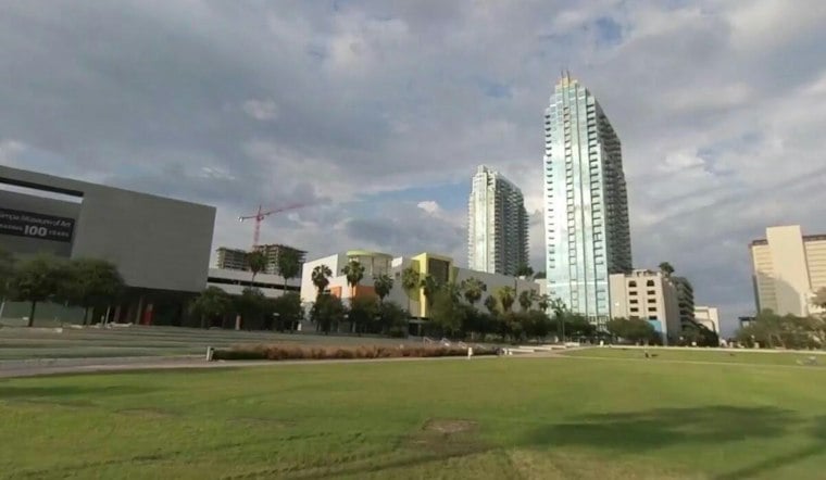
Tampa is starting Saturday, October 3, with light rain, mostly cloudy skies and temperatures around 79 degrees. Scattered showers and thunderstorms are expected after 2 p.m., with a high near 88 and a heat index that could reach 98.
Afternoon Storms Arrive After 2 P.M.
The National Weather Service Tampa Bay office puts Saturday daytime’s rain chance at 60% and Saturday night’s at 50%, with east-southeast winds near 8 mph and possible rainfall of a tenth to a quarter-inch. Storm chances continue tonight, when scattered showers and thunderstorms could drop a quarter-inch to a half-inch of rain and push the low to around 75 degrees, according to the National Weather Service.
Sunday Stays Hot Before Storms Return
Sunday should be mostly sunny for much of the day, but temperatures will climb to around 90 degrees and the heat index could reach 102. Scattered showers and thunderstorms become possible after 5 p.m., with a 40% chance of rain during the day and another round of storms possible Sunday night.
A Wetter Stretch Arrives Monday
The forecast turns considerably wetter Monday through Thursday as a front settles across Central Florida, with widespread rain possible. Daytime highs ease from the upper 80s into the low to mid-80s.
The latest outlook also raises the possibility of heavy rain hitting some locations multiple days in a row, which could lead to localized flooding in spots. Saturday’s updated daytime rain chance of 60%, with a 50% chance Saturday night, is higher than the 40% chance in the earlier weekend outlook covered by Hoodline, making flexible plans a good idea for anyone scheduling outdoor activities.
No Watches Or Warnings Posted
No watches, warnings or advisories are listed for Tampa or the surrounding Gulf waters as of Saturday morning. East to southeast winds are expected to run near 15 knots today and tonight, while anyone caught outside during a storm should head indoors when thunder is nearby.





