

























































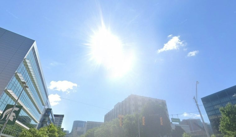
Light rain will continue across parts of central lower Michigan early Saturday, with a much warmer afternoon ahead in Grand Rapids. Skies will stay mostly sunny, setting up a notably warm October weekend before the weather turns more unsettled.
Saturday Brings Sunshine And Gusty Winds
Saturday's high will reach about 78 degrees, with south winds of 7 to 10 mph and gusts up to 24 mph. The National Weather Service Grand Rapids office forecasts mostly sunny skies, with breezes picking up during the afternoon.
The wind will ease somewhat Saturday night, but temperatures will remain mild, falling only to around 57 degrees under mostly cloudy skies. Anyone heading toward Lake Michigan should note that a Small Craft Advisory remains in effect for parts of the lake through early Sunday.
Sunday And Monday Stay Warm Before The Turn
Sunday will be partly sunny with a high near 72 and lighter east-southeast winds. Monday rebounds to around 77 degrees with mostly sunny skies during the day, making it the last strong bid for warm-weather plans before the forecast takes a turn.
That timing is a modest shift from Friday's Hoodline forecast, with the latest outlook showing warmer daytime temperatures and a clearer signal for storms Monday night. Showers and thunderstorms are possible Monday night, with a low near 59.
Storm Chances Open The Door To Cooler Weather
Tuesday starts with a chance of showers and thunderstorms before 8 a.m., followed by a smaller rain chance through the early afternoon. The high should reach about 69 degrees before temperatures drop into the upper 40s Tuesday night.
Mostly sunny skies return Wednesday, but the high will be closer to 65 degrees. Rain chances increase again late Wednesday night and continue into Thursday, while Friday looks cooler and breezy, with highs in the 60s later in the week and another chance of showers.





